New Nizamuddin Bridge, Delhi
Map
Facts and practical information
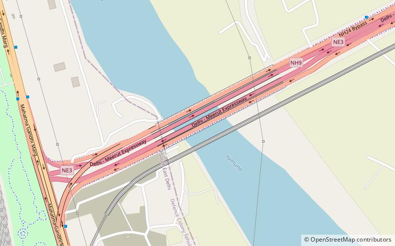
New Nizamuddin bridge is one of the main bridge that connects Trans Yamuna in the east Delhi with Ring Road in South Delhi across river Yamuna. Also known as Indo-Japanese Friendship Bridge. There are eight motorway Bridges across Yamuna this is the sixth motorway bridge from north to south there are two more motorway Bridges south of this. The bridge was built in 1970 and later in 1998 widened to 8 lanes. ()
Coordinates: 28°36'2"N, 77°15'44"E
Address
Central Delhi (Nizamuddin)Delhi
ContactAdd
Social media
Add
Day trips
New Nizamuddin Bridge – popular in the area (distance from the attraction)
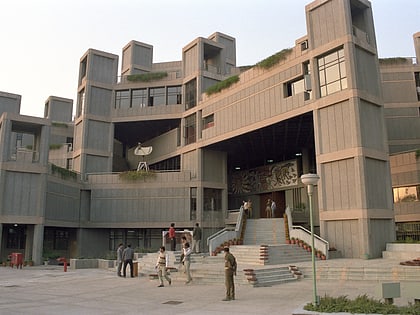
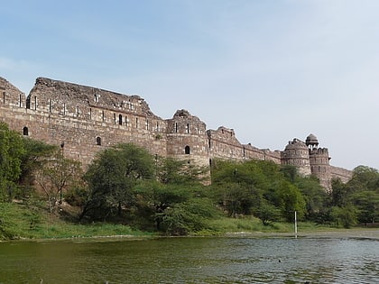
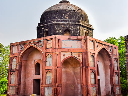
Nearby attractions include: Humayun's Tomb, National Science Centre, Purana Qila, National Zoological Park Delhi.
Frequently Asked Questions (FAQ)
Which popular attractions are close to New Nizamuddin Bridge?
Nearby attractions include Indraprastha Park, Delhi (13 min walk), Sarai Kale Khan, Delhi (18 min walk), Nila Gumbad, Delhi (21 min walk), Humayun's Tomb, Delhi (22 min walk).
How to get to New Nizamuddin Bridge by public transport?
The nearest stations to New Nizamuddin Bridge:
Bus
Metro
Train
Bus
- Millennium Depot • Lines: (-) Oms, 306, 311A, 469, 492, 534, 534A, 543, 543A, 543B, 611 (5 min walk)
- Sarai Kale Khan • Lines: (+) Oms, 306, 311A, 469, 492, 534, 534A, 543A, 543B, 611 (12 min walk)
Metro
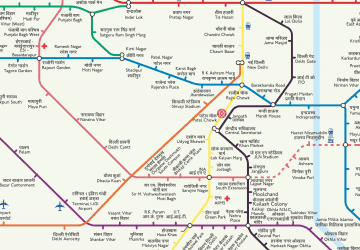
- Hazrat Nizamuddin • Lines: Pink Line (22 min walk)
Train
- Hazrat Nizamuddin Junction (25 min walk)
- Pragati Maidan (36 min walk)
 Metro
Metro
