Chembur Causeway, Mumbai

Map
Facts and practical information
The Chembur causeway is a causeway in Bombay, India. It was built about 1846. It is 3,105 feet long, from twenty-two to twenty-four feet wide, and from five to twelve feet high. The causeway is used at all seasons, the chief traffic, besides passengers, being grass, rice, fruit, and vegetables on their way to Bombay. It is repaired as part of the Kurla-Trombay road out of the Thana Local Funds. There is no toll. ()
Coordinates: 19°3'59"N, 72°53'24"E
Address
Chembur (Kurla West)Mumbai
ContactAdd
Social media
Add
Day trips
Chembur Causeway – popular in the area (distance from the attraction)
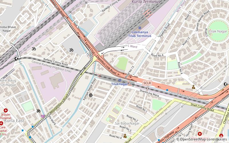
Nearby attractions include: Kurla Court, Holy Cross Church, Tilak Nagar, Bombay Presidency Golf Club.
Frequently Asked Questions (FAQ)
How to get to Chembur Causeway by public transport?
The nearest stations to Chembur Causeway:
Train
Bus
Train
- Tilaknagar (2 min walk)
- Lokmanya Tilak Terminus (7 min walk)
Bus
- Kurla East (17 min walk)
- Kurla West (19 min walk)


