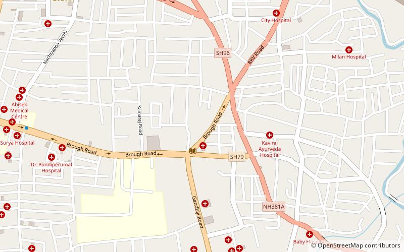
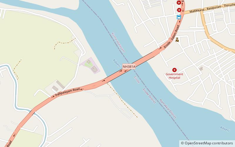
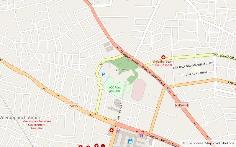
Erode taluk, Erode
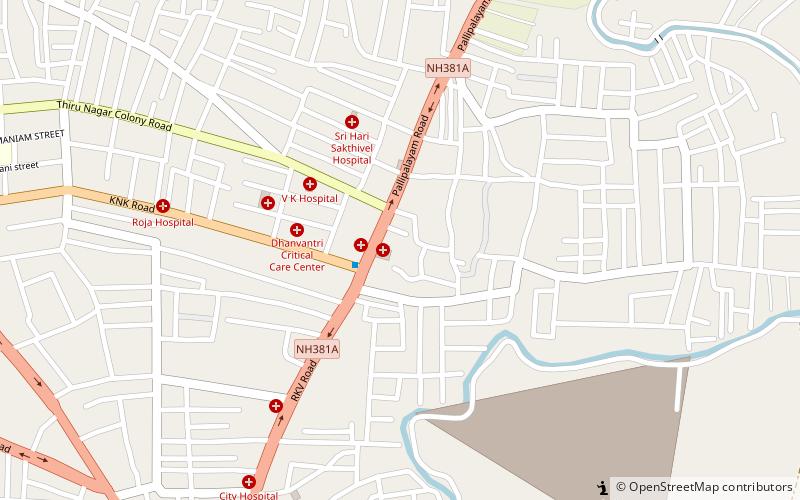
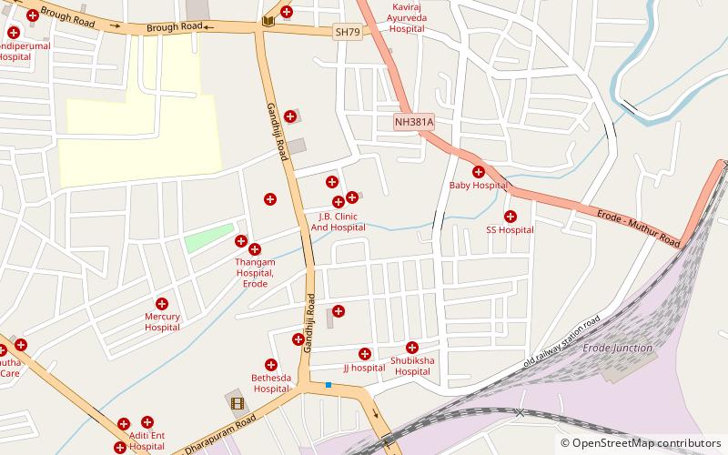
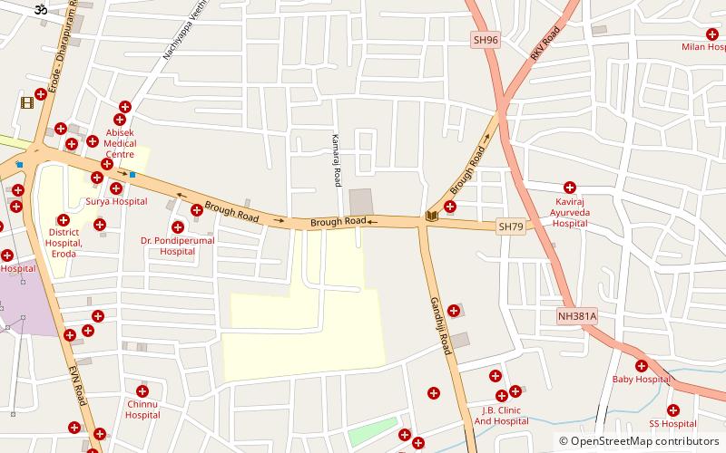
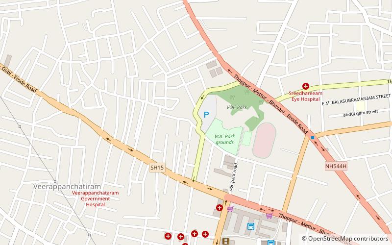
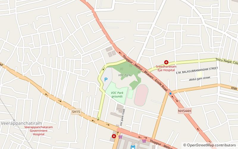
Map
Facts and practical information
Erode taluk is a taluk of Erode district of the Indian state of Tamil Nadu. The headquarters of the taluk is the town of Erode. In 2016, Erode Taluk has been trifurcated into Erode, Modakurichi and Kodumudi. It falls under Erode Revenue Division. ()
Coordinates: 11°21'0"N, 77°43'60"E
Address
Erode
ContactAdd
Social media
Add
Getting there by public transportation
Public transportation stops near this location
- Bus
 Bus
Bus
- Calculate routeErode Mini Bus Stand 23 min walk
- Calculate routeErode Bus Stand 24 min walk
- Calculate routePallipalayam Bus Stop 36 min walk
Day trips
Frequently Asked Questions (FAQ)
How to get to Erode taluk by public transport?
The nearest stations to Erode taluk:
Bus
Bus
- Erode Mini Bus Stand (23 min walk)
- Erode Bus Stand (24 min walk)