Nampally, Hyderabad
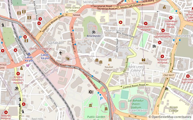
Map
Gallery
Facts and practical information
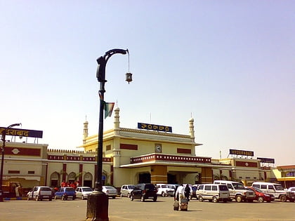
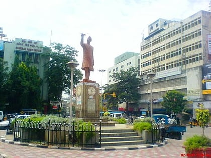
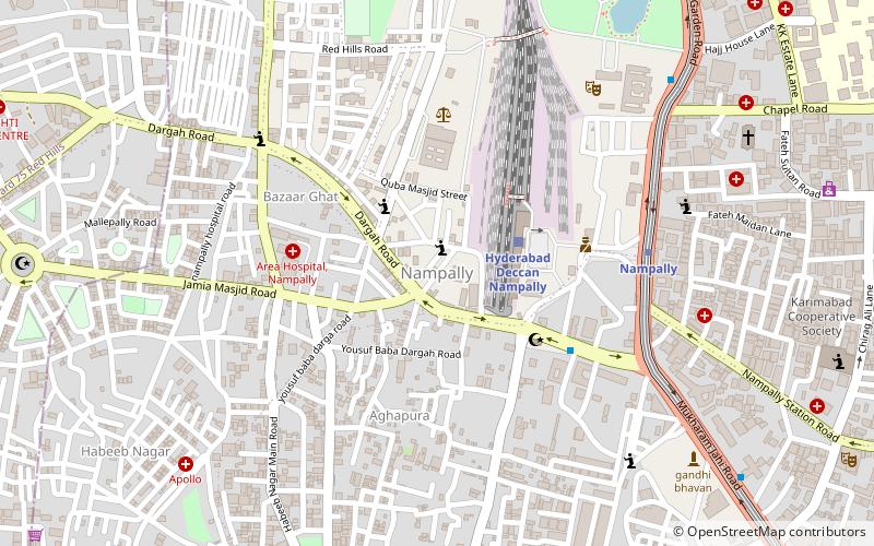
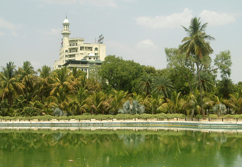
Nampally is one of the biggest City Center of Hyderabad New City, India. It is also a mandal in Hyderabad District. The biggest landmarks are Ibrahim's house and Hyderabad Deccan Station, locally known as the Nampally railway station. ()
Coordinates: 17°23'31"N, 78°27'58"E
Address
Erstwhile Circle-IV (Red Hills)Hyderabad
ContactAdd
Social media
Add
Day trips
Nampally – popular in the area (distance from the attraction)
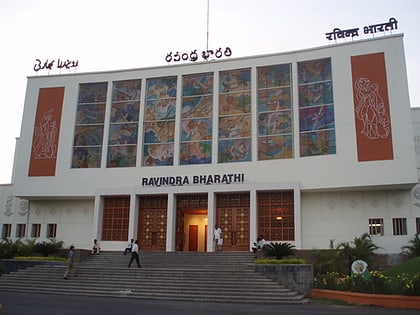
Nearby attractions include: Lumbini Park, Public Gardens, Birla Science Museum, Ravindra Bharathi.
Frequently Asked Questions (FAQ)
Which popular attractions are close to Nampally?
Nearby attractions include Aghapura, Hyderabad (5 min walk), Bazarghat, Hyderabad (10 min walk), St Joseph's Cathedral, Hyderabad (12 min walk), Abids, Hyderabad (12 min walk).
How to get to Nampally by public transport?
The nearest stations to Nampally:
Train
Metro
Bus
Train
- Hyderabad Deccan Nampally (3 min walk)
- Lakdi-ka-pul (22 min walk)
Metro
- Nampally • Lines: Red Line (8 min walk)
- Assembly • Lines: Red Line (14 min walk)
Bus
- Bus Stop (30 min walk)
