Nanalnagar, Hyderabad
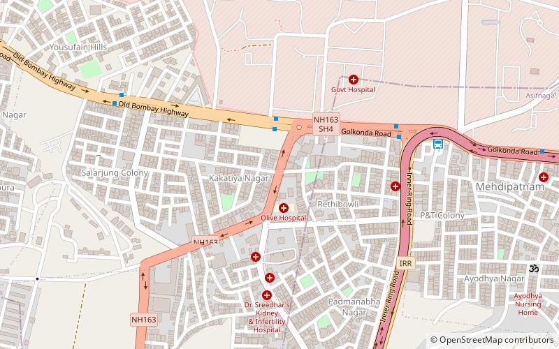
Map
Facts and practical information
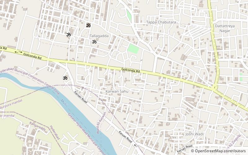
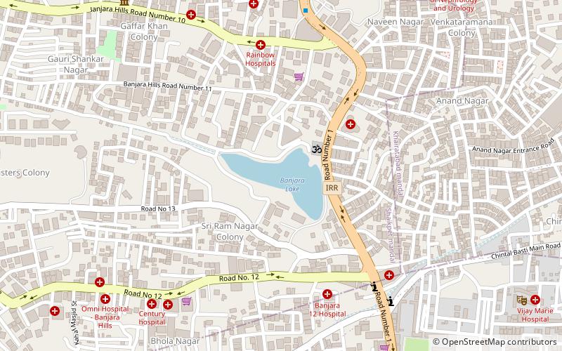
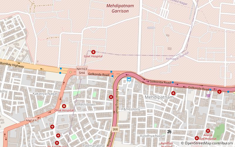
Nanalnagar is a ward under the Greater Hyderabad Municipal Corporation in the city of Hyderabad, Telangana in India, it is bounded by Banjara Hills and Ahmed Nagar wards to the north, Shaikpet and Tolichowki to the east, Langar Houz and Gudimalkapur to the south and Mehdipatnam and Vijaynagar Colony to the west. ()
Coordinates: 17°23'41"N, 78°25'38"E
Address
Erstwhile Circle-IV (Mehdipatnam)Hyderabad
ContactAdd
Social media
Add
Day trips
Nanalnagar – popular in the area (distance from the attraction)
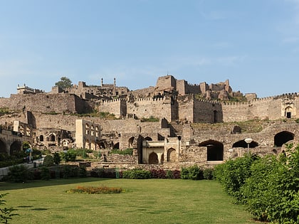
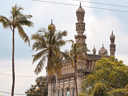
Nearby attractions include: Golconda Fort, Qutb Shahi tombs, Jagannath Temple, Toli Masjid.
Frequently Asked Questions (FAQ)
Which popular attractions are close to Nanalnagar?
Nearby attractions include Attapur, Hyderabad (8 min walk), Mehdipatnam, Hyderabad (8 min walk), Laxminagar Colony, Hyderabad (14 min walk).
How to get to Nanalnagar by public transport?
The nearest stations to Nanalnagar:
Bus
Bus
- Nanalnagar • Lines: 216M (3 min walk)
- Rethibowli • Lines: 216M (7 min walk)
