Chirbas Parbat, Gangotri National Park

Map
Facts and practical information
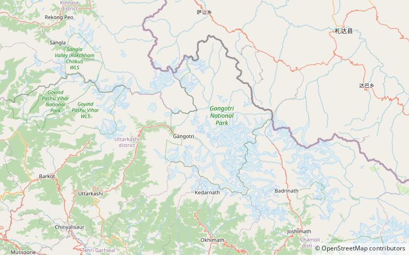
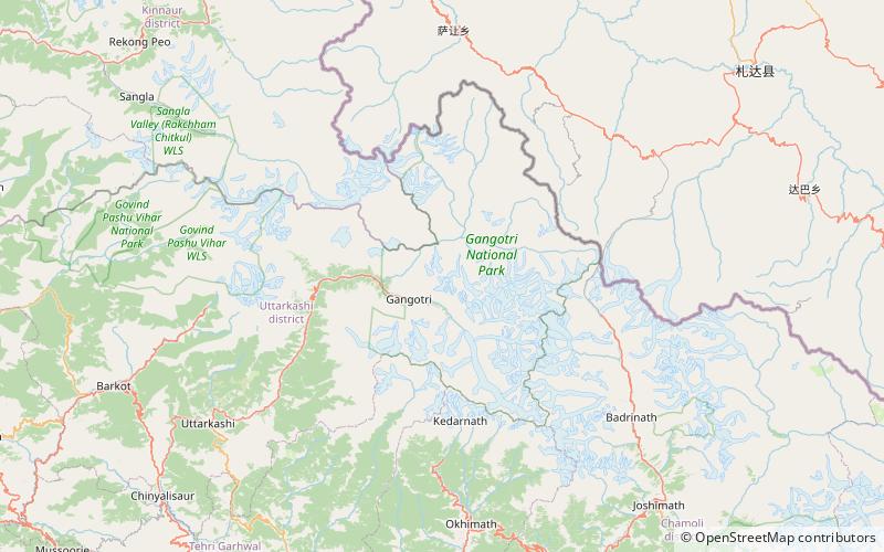
Chirbas Parbat is a mountain of the Garhwal Himalaya in Uttarakhand, India. The elevation of Chirbas Parbat is 6,529 metres and its prominence is 643 metres. It is joint 81st highest located entirely within the Uttrakhand. Nanda Devi, is the highest mountain in this category. Chirbas Parbat lies between the Kalidhang 6,373 metres and Matri 6,721 metres. Its nearest higher neighbor Matri lies 3 km SE. It is located 5.9 km NW of Chaturbhuj 6,654 metres and 13.8 km east lies Trimukhi Parbat 6,450 metres. ()
Coordinates: 31°2'5"N, 79°3'11"E
Address
Gangotri National Park
ContactAdd
Social media
Add
Day trips
Chirbas Parbat – popular in the area (distance from the attraction)
Nearby attractions include: Kalidhang.
