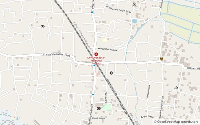
Koottikkada, Kollam

Map
Facts and practical information
Koottikkada or Koottikada is a small neighbourhood of the city of Kollam. It is the 29th ward in Kollam Municipal Corporation. Koottikkada is a thickly populated area in the city. Kollam-Thiruvananthapuram railway line is passing through Koottikada. So many mosques and temples are there in this area. ()
Coordinates: 8°51'15"N, 76°38'17"E
Address
Kollam
ContactAdd
Social media
Add
Day trips
Koottikkada – popular in the area (distance from the attraction)
Nearby attractions include: St Thomas Fort, Cantonment Maidan, Mundakkal Beach, Tangasseri.
Frequently Asked Questions (FAQ)
How to get to Koottikkada by public transport?
The nearest stations to Koottikkada:
Train
Bus
Train
- Eravipuram (32 min walk)
- Mayyanad (34 min walk)
Bus
- umayanalloor bus stop (34 min walk)


