Rama Talkies Road, Visakhapatnam
Map

Map

Facts and practical information
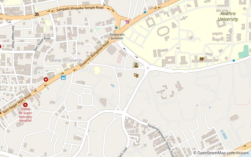
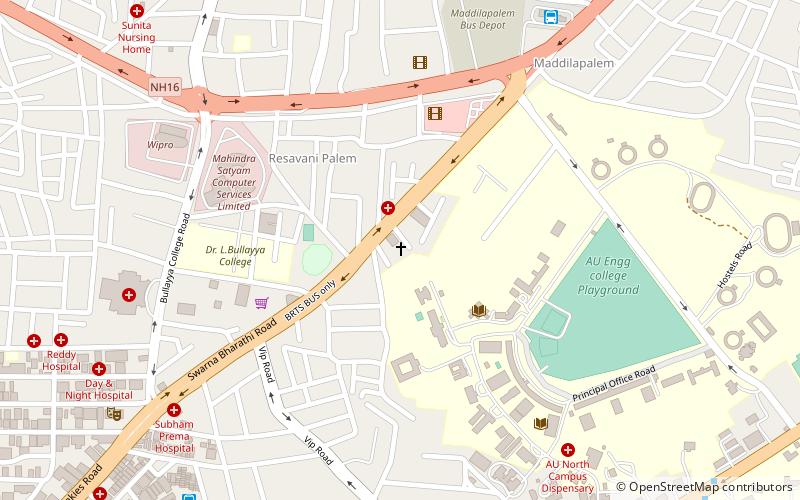
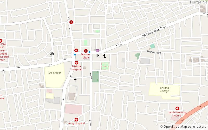
Rama Talkies Road is a major road in the Indian city of Visakhapatnam. The name of the road is derived from a movie theater that is located nearby. It is one of the busiest roads that connects to Dwaraka Bus Station. ()
Coordinates: 17°43'42"N, 83°18'43"E
Address
Visakhapatnam
ContactAdd
Social media
Add
Day trips
Rama Talkies Road – popular in the area (distance from the attraction)
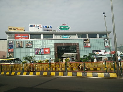
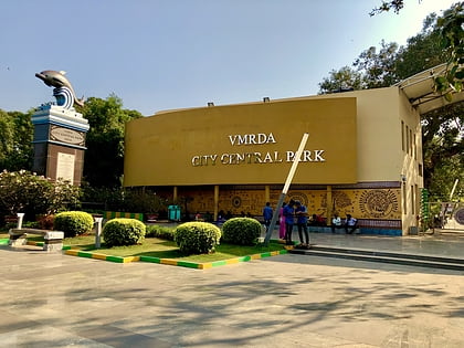
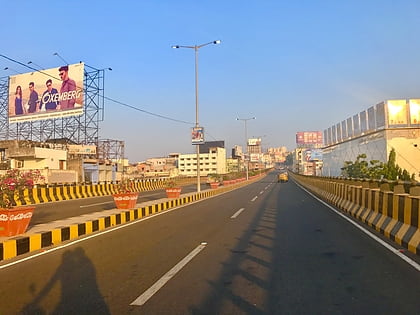
Nearby attractions include: CMR Central, Dr.Y.S.Rajasekhara Reddy Central Park, Sri Sampath Vinayagar Temple, Telugu Thalli Flyover.
Frequently Asked Questions (FAQ)
Which popular attractions are close to Rama Talkies Road?
Nearby attractions include CBM Compound, Visakhapatnam (4 min walk), VIP Road, Visakhapatnam (5 min walk), Dr.L.Bullayya College, Visakhapatnam (7 min walk), Sri Sampath Vinayagar Temple, Visakhapatnam (7 min walk).
How to get to Rama Talkies Road by public transport?
The nearest stations to Rama Talkies Road:
Bus
Bus
- Visakhapatnam Bus Stand (12 min walk)
- Maddilapalem Bus Station (20 min walk)

