Valley of Flowers, Panskura
Map

Map

Facts and practical information
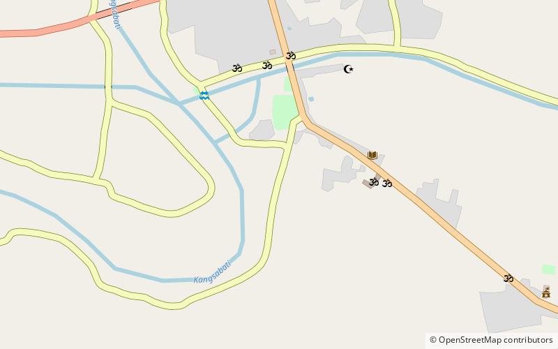
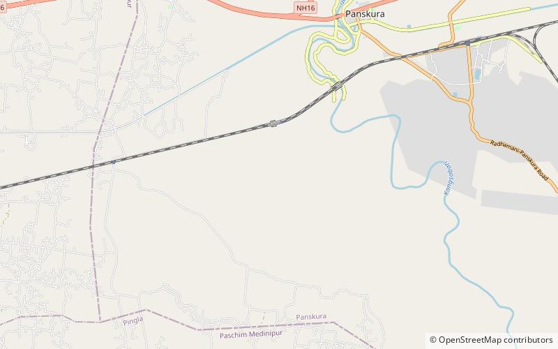
The Valley of Flowers Khirai is nestled in the upper expanses of Kansai near Khirai railway station in the Panskura region of India. The lower reaches of Kansai near Dokanda village is known as Kansai Valley. The Valley of Flowers is in the Dokanda valley. It lies between 22° 38' to 22° 22'N and 87° 71' to 87° 41'E. Different kinds of flower paint the Valley of Flowers Dokanda in pink and yellow in the first week of January. ()
Coordinates: 22°22'28"N, 87°41'48"E
Address
Panskura
ContactAdd
Social media
Add
Day trips
Valley of Flowers – popular in the area (distance from the attraction)
Nearby attractions include: Bhavatarini Shmashanpith Kali Temple, Begunbari Kali Temple.


