Gorkhaland movement, Darjeeling
Facts and practical information
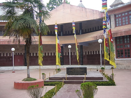
The Gorkhaland movement is a campaign to create a separate state of India in the Gorkhaland region of West Bengal for the Nepali speaking Gorkha people. The proposed state includes the hill regions of the Darjeeling district, Kalimpong district and Dooars regions that include Jalpaiguri, Alipurduar and parts of Coochbehar districts. A demand for a separate administrative unit in Darjeeling has existed since 1909, when the Hillmen's Association of Darjeeling submitted a memorandum to Minto-Morley Reforms demanding a separate administrative setup. ()
Darjeeling
Gorkhaland movement – popular in the area (distance from the attraction)
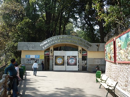
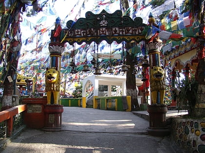
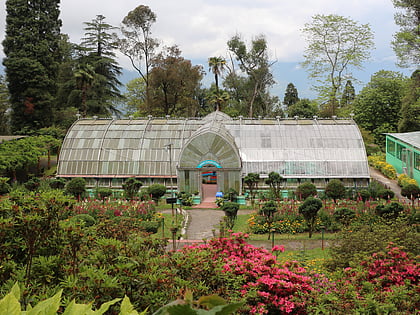
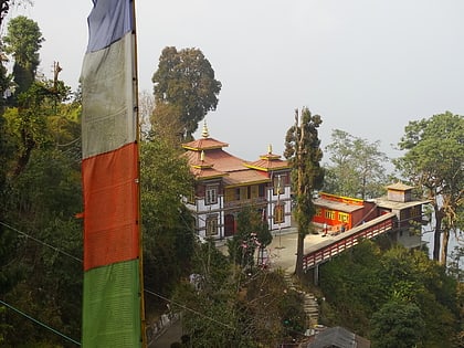
Nearby attractions include: Himalayan Zoo, Mahakal Temple, Lloyd's Botanical Garden, Bhutia Busty Monastery.
Frequently Asked Questions (FAQ)
Which popular attractions are close to Gorkhaland movement?
How to get to Gorkhaland movement by public transport?
Bus
- Bus and taxi stand (10 min walk)
Train
- Darjeeling (22 min walk)
