Ronti, Nanda Devi National Park

Map
Facts and practical information
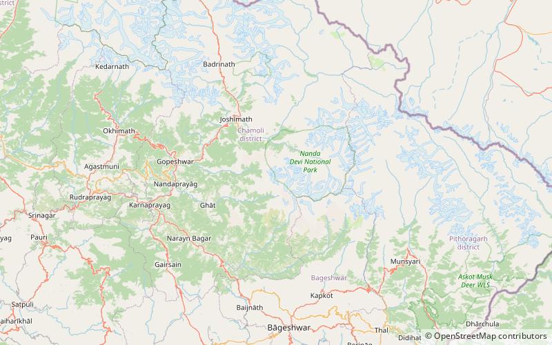
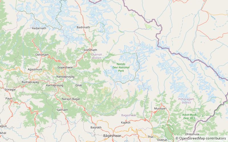
Ronti is a mountain of the Garhwal Himalaya in Uttarakhand India. It is situated on the western rim of Nanda Devi Sanctuary. The elevation of Ronti is 6,029 metres and its prominence is 435 metres. It is 164th highest located entirely within the Uttrakhand. Nanda Devi, is the highest mountain in this category. It lies 2.4 km North of Nanda Ghunti 6,272 metres its nearest higher neighbor. Bethartoli 6,352 metres lies 6.6 km ENE and it is 8.4 km NNW of Trisul I 7,120 metres. It lies 24.2 km west of Nanda Devi 7,816 metres. ()
Coordinates: 30°22'10"N, 79°43'8"E
Address
Nanda Devi National Park
ContactAdd
Social media
Add
Day trips
Ronti – popular in the area (distance from the attraction)
Nearby attractions include: Trisul, Bethartoli South, Bethartoli, Nanda Ghunti.


