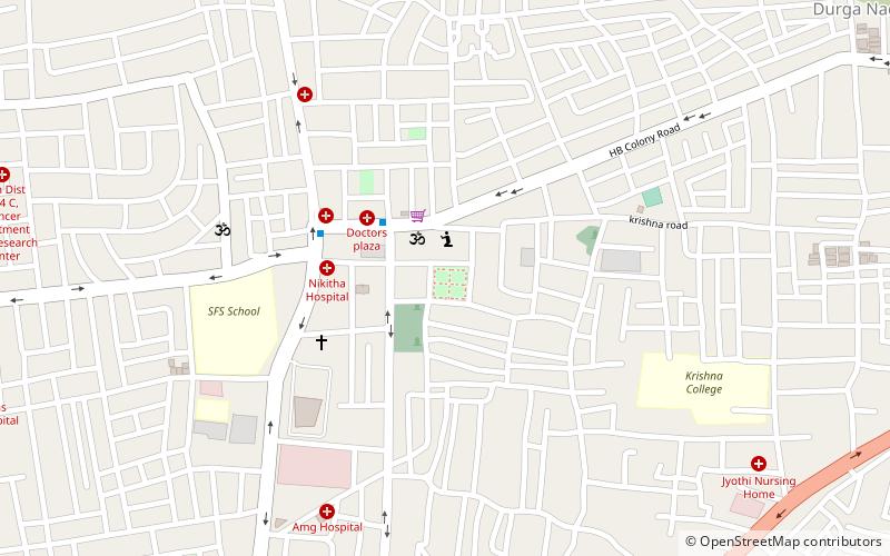
Maharanipeta, Visakhapatnam
Map

Map

Facts and practical information
Maharanipeta is a neighbourhood in the city of Visakhapatnam, India. One of the 46 mandals of Visakhapatnam District, it is under the administration of Visakhapatnam revenue division, and its headquarters is at Maharanipeta. It is bounded by Seethammadhara and Gopalapatnam mandals. The origin of this name is unknown. It is a zone for hospitals, including King George Hospital and several private hospitals. The medical college in Andhra Pradesh, Andhra Medical College is also located there. ()
Coordinates: 17°44'33"N, 83°19'1"E
Address
Visakhapatnam
ContactAdd
Social media
Add
Day trips
Maharanipeta – popular in the area (distance from the attraction)
Nearby attractions include: CMR Central, Jagadamba Centre, Maddilapalem, MVP Colony.
Frequently Asked Questions (FAQ)
Which popular attractions are close to Maharanipeta?
Nearby attractions include Asilmetta, Visakhapatnam (1 min walk), Jagadamba Centre, Visakhapatnam (1 min walk), Suryabagh, Visakhapatnam (1 min walk), Railway New Colony, Visakhapatnam (1 min walk).
How to get to Maharanipeta by public transport?
The nearest stations to Maharanipeta:
Bus
Bus
- Maddilapalem Bus Station (13 min walk)


