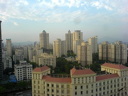
Hiranandani Estate, Thane
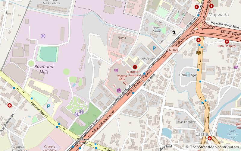
Map
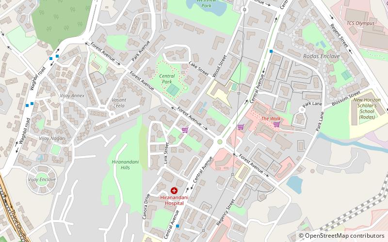
Map

Facts and practical information
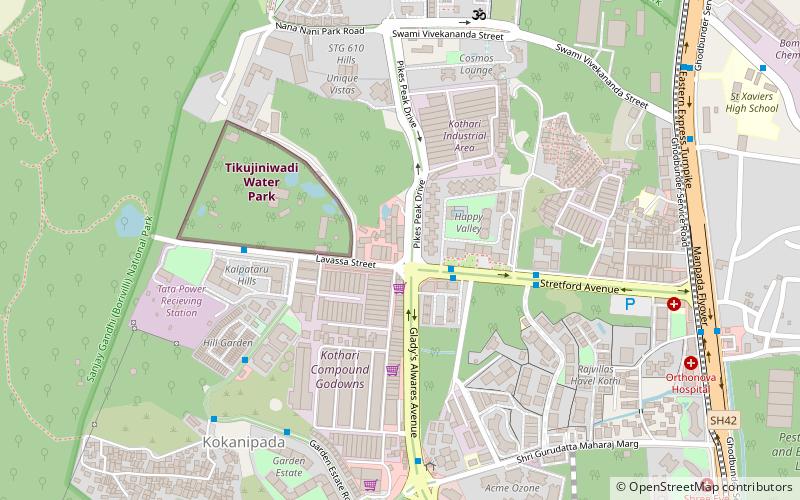
Hiranandani Estate is an upmarket condominium-style township built by the Hiranandani Group in the city of Thane, a part of the Mumbai Metropolitan Area in Maharashtra. It is accessible via Ghodbunder Road which connects the Eastern Express Highway to the Western Suburbs of Borivali, Kandivali and Mira Road. ()
Coordinates: 19°15'20"N, 72°58'51"E
Address
Thane
ContactAdd
Social media
Add
Day trips
Hiranandani Estate – popular in the area (distance from the attraction)
Nearby attractions include: Kanheri Caves, Korum Mall, Sanjay Gandhi National Park, Dadaji Kondadev Stadium.
Frequently Asked Questions (FAQ)
Which popular attractions are close to Hiranandani Estate?
Nearby attractions include Lokmanya Nagar, Thane (7 min walk), Waghbil, Thane (7 min walk).
How to get to Hiranandani Estate by public transport?
The nearest stations to Hiranandani Estate:
Bus
Bus
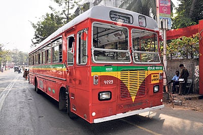
- Patlipada • Lines: 51, 54, 61 (17 min walk)
- Muchhala College • Lines: 54, 61 (25 min walk)
