C.G.S. colony, Mumbai
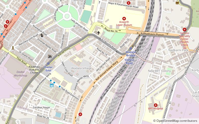
Map
Facts and practical information
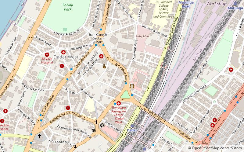
C.G.S. colony is Asia's largest housing colony to provide housing to employees and staff of any central government body/organisation. C.G.S. is derived from Central Government Employees Society - the "E" is not used usually because saying "CGS" is much easier and faster than saying "CGES", but C.G.E.S. is the official short-form. The colony is located approximately mid-way of the King's Circle and Koliwada or Guru Tegh Bahadur Nagar railway stations. Walking time between C.G.S. and both stations is an average of 20 minutes. ()
Coordinates: 19°0'59"N, 72°51'24"E
Address
MatungaMumbai
ContactAdd
Social media
Add
Day trips
C.G.S. colony – popular in the area (distance from the attraction)
Nearby attractions include: Sewri Fort, Shivaji Park, Sewri Christian Cemetery, Shivaji Mandir.
Frequently Asked Questions (FAQ)
Which popular attractions are close to C.G.S. colony?
Nearby attractions include Wadala Market, Mumbai (4 min walk), Dadar Parsi Colony, Mumbai (10 min walk), Institute of Chemical Technology, Mumbai (14 min walk), Hindu Colony, Mumbai (16 min walk).
How to get to C.G.S. colony by public transport?
The nearest stations to C.G.S. colony:
Train
Bus
Train
- Vadala Road (5 min walk)
- Wadala Bridge (5 min walk)
Bus
- Wadala Depot (8 min walk)
- Asiad MSRTC Stand (18 min walk)


