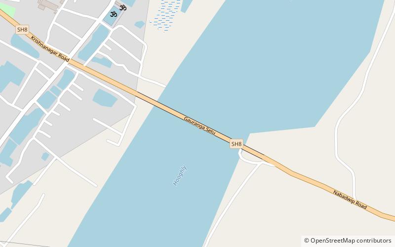
Gouranga Bridge, Mayapur
Map

Map

Facts and practical information
Gouranga Bridge is a 588 m long Road bridge that crosses the Bhagirathi River in between Nabadwip and Krishnanager, Nadia in West Bengal. It is the part of State highway 8. ()
Coordinates: 23°23'9"N, 88°21'60"E
Address
Mayapur
ContactAdd
Social media
Add
Day trips
Gouranga Bridge – popular in the area (distance from the attraction)
Nearby attractions include: Temple of the Vedic Planetarium, Ballal Dhipi, Sri Devananda Gaudiya Math, ISKCON Mayapur.


