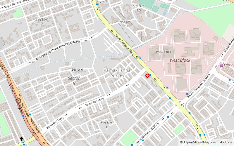
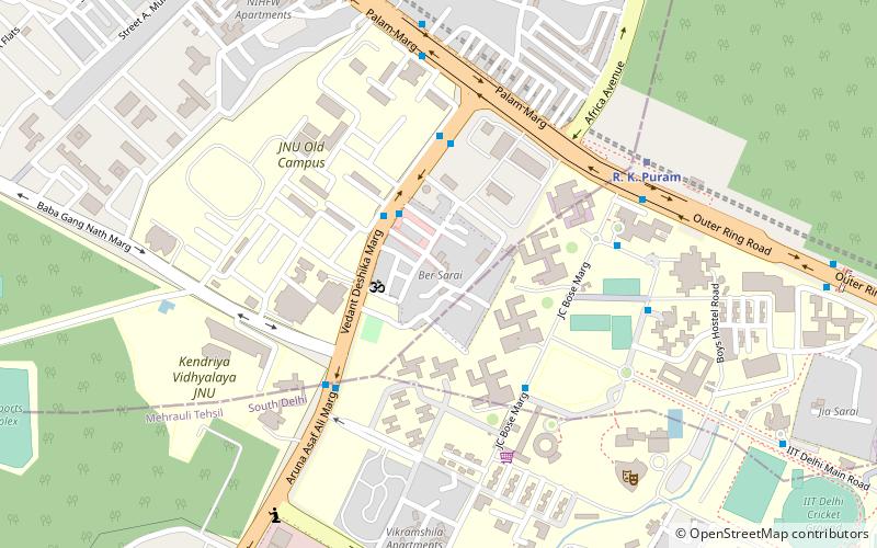
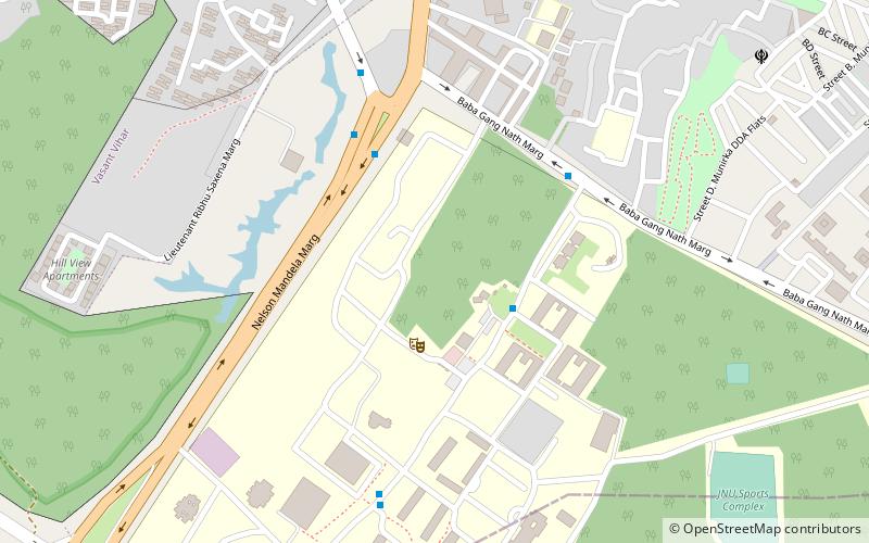
Rama Krishna Puram, Delhi
Map
Facts and practical information
Ramakrishna Puram popularly known as R.K. Puram, is a residential colony in New Delhi. Named after the saint Sri Ramakrishna, it houses many high profile corporate houses. ()
Coordinates: 28°33'56"N, 77°10'29"E
Address
New Delhi (R K Puram)Delhi
ContactAdd
Social media
Add
Getting there by public transportation
Public transportation stops near this location
- Metro
- Bus
- Train
 Metro
Metro
- Calculate routeMohan Singh Market 4 min walk
- Calculate routeRama Krishna Puram Sector 1 and 2 6 min walk
- Calculate routeRama Krishna Puram Sector 1 8 min walk
- Calculate routeRama Krishna Puram Sector 10 9 min walk
- Calculate routeMunirka 16 min walk
- Calculate routeBhikaji Cama Place 22 min walk
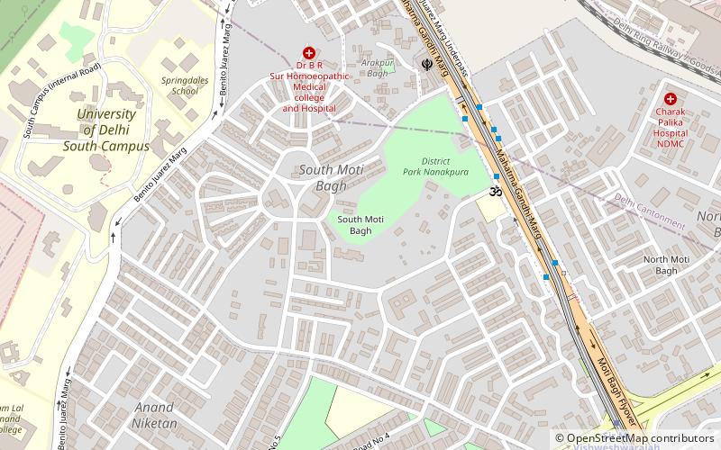
- Calculate routeSir Vishweshwaraiah Moti Bagh 23 min walk
- Calculate routeVasant Vihar 26 min walk
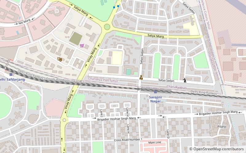
- Calculate routeDelhi Safdarjang 35 min walk
Maps Metro
Metro
MetroDay trips


Frequently Asked Questions (FAQ)
Which popular attractions are close to Rama Krishna Puram?
Nearby attractions include Uttara Swami Malai Temple, Delhi (15 min walk), Tagore International School, Delhi (21 min walk).
How to get to Rama Krishna Puram by public transport?
The nearest stations to Rama Krishna Puram:
Bus
Metro
Train
Bus
- Mohan Singh Market • Lines: (-) Oms, (+) Oms, 448, 448A, 507, 511A, 523, 611, 680, 727, 743 (4 min walk)
- Rama Krishna Puram Sector 1 and 2 • Lines: (-) Oms, 448, 448A, 507, 511A, 523, 544, 611, 680, 727 (6 min walk)
Metro
- Munirka • Lines: Magenta Line (16 min walk)
- Bhikaji Cama Place • Lines: Pink Line (22 min walk)
Train
- Delhi Safdarjang (35 min walk)