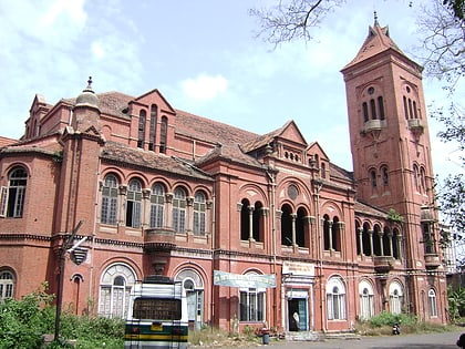
Sowcarpet, Chennai
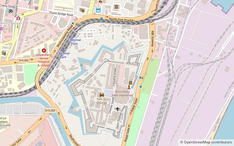
Map
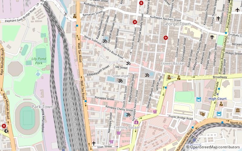
Map

Facts and practical information
Sowcarpet is a neighborhood in the northern part of Chennai, India. Sowcarpet is one of the oldest neighborhoods of the city with narrow streets and vintage buildings. It is a bustling commercial area of the city, and a range of wholesale markets are located here. The locality is known as the North Indian hub of Chennai owing to the presence of the North Indian community here. ()
Coordinates: 13°5'19"N, 80°16'42"E
Address
Pulianthope (Edapalayam)Chennai
ContactAdd
Social media
Add
Day trips
Sowcarpet – popular in the area (distance from the attraction)
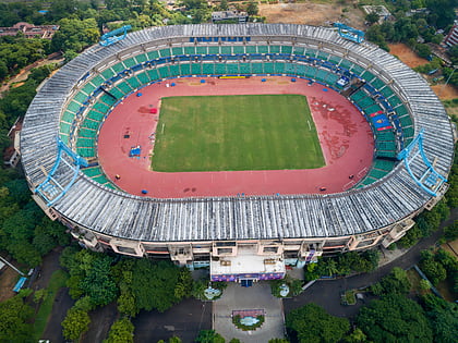
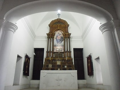
Nearby attractions include: Gymkhana Club, Jawaharlal Nehru Stadium, Secretariat Park, Armenian Church.
Frequently Asked Questions (FAQ)
Which popular attractions are close to Sowcarpet?
Nearby attractions include Ekambareswarar Temple, Chennai (1 min walk), Mint Street, Chennai (9 min walk), Salt Cotaurs, Chennai (11 min walk), Raja Annamalai Mandram, Chennai (11 min walk).
How to get to Sowcarpet by public transport?
The nearest stations to Sowcarpet:
Bus
Train
Metro
Light rail
Bus
- Broadway Bus Terminus (11 min walk)
- General Hospital • Lines: 5C (12 min walk)
Train
- Puratchi Thalaivar Dr. M. G. Ramachandran Central (12 min walk)
- Chennai Fort (12 min walk)
Metro
- High Court • Lines: 1 (12 min walk)
- Central Metro • Lines: 1, 2 (15 min walk)
Light rail
- Chennai Fort • Lines: 1 (13 min walk)
- Chintadaripet • Lines: 1 (28 min walk)


