Pallithottam, Kollam
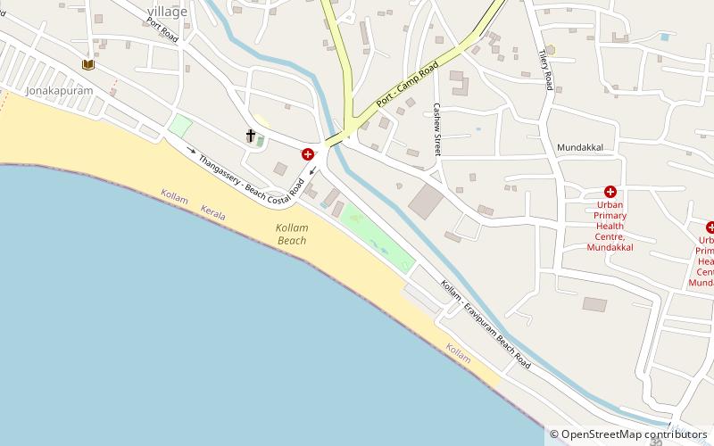
Map
Facts and practical information
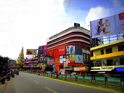
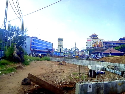
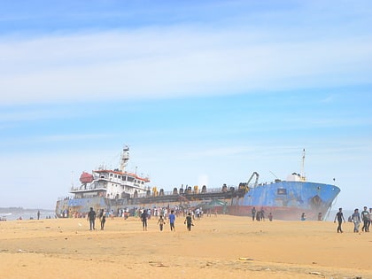
Pallithottam is a neighbourhood of Kollam city situated at the coastal region. It is the 46th ward in Kollam Municipal Corporation. Pallithottam is totally depending on fishing activities and operations of Kollam Port. ()
Coordinates: 8°52'29"N, 76°35'35"E
Address
Kollam
ContactAdd
Social media
Add
Day trips
Pallithottam – popular in the area (distance from the attraction)
Nearby attractions include: RP Mall, Bishop Jerome Nagar, Mahatma Gandhi Park, Sardar Vallabhbhai Patel Police Museum.
Frequently Asked Questions (FAQ)
Which popular attractions are close to Pallithottam?
Nearby attractions include Mahatma Gandhi Park, Kollam (2 min walk), Kochupilamoodu, Kollam (4 min walk), Kollam Beach, Kollam (8 min walk), Mundakkal, Kollam (10 min walk).
How to get to Pallithottam by public transport?
The nearest stations to Pallithottam:
Bus
Train
Bus
- Andamukkam private Bus Stand (17 min walk)
- Kollam (33 min walk)
Train
- Kollam Junction (21 min walk)
