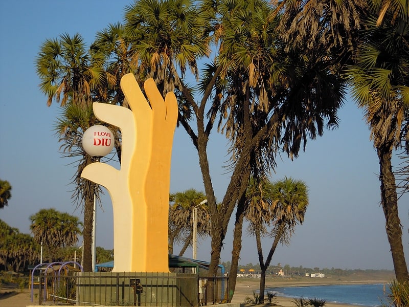
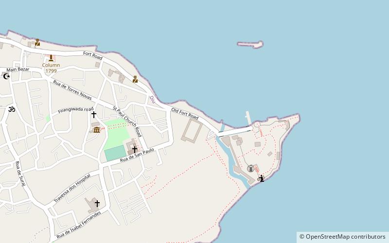
Trek Zone

Diu district, Diu

#5 among attractions in Diu

Neighbourhood
Diu district location map
Map

Facts and practical information

Alternative names: Area: 15.44 mi²Coordinates: 20°42'36"N, 70°58'48"E
Address

Diu India

ContactAdd
Social media
Add
Day trips

Diu district – popular in the area (distance from the attraction)

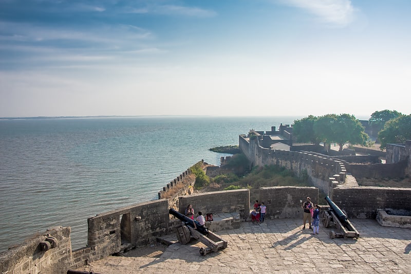
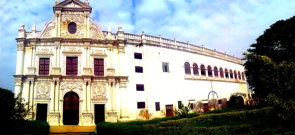
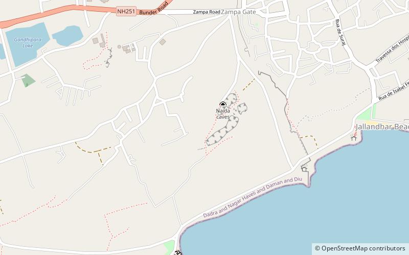
Nearby attractions include: Fort Diu, St. Paul's Church, Jallandhar Beach, Naida Caves.

  • fort diu1.1 miE
  • st pauls church diu0.8 miNE
  • jallandhar beach diu location map
    0.5 miE
  • naida caves diu location map
    ~460 ftNE
  • zampa gateway diu location map
    ~1750 ftN
  • sunset point diu location map
    0.5 miS
  • shri krishna pramani sampradaya temple diu location map
    0.6 miNE
  • column 1799 diu location map
    0.7 miNE
  • diu college location map
    1 miNE

Frequently Asked Questions (FAQ)

Which popular attractions are close to Diu district?

Nearby attractions include Naida Caves, Diu (3 min walk), Zampa Gateway, Diu (9 min walk), Jallandhar Beach, Diu (13 min walk), Sunset Point, Diu (14 min walk).

How to get to Diu district by public transport?

The nearest stations to Diu district:

Bus
  • Diu (15 min walk)
  • Jethbai Bus Stand Diu (16 min walk)

Where to next? Visit daman and diu Daman and Diu region page or discover the top tourist attractions in India.