Pettai, Thirunelveli
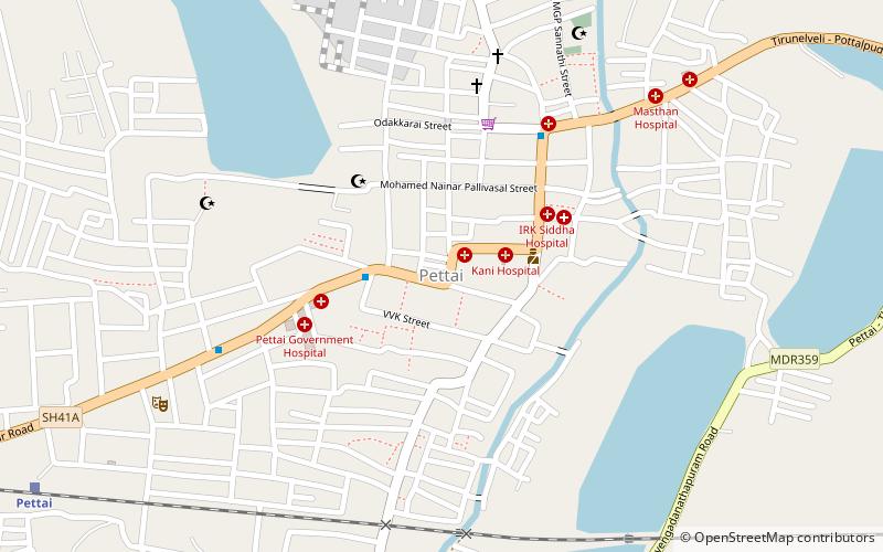
Map
Facts and practical information
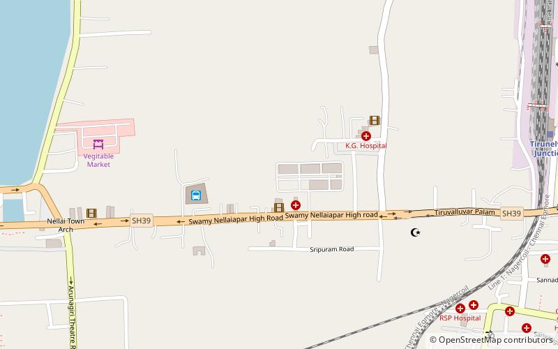
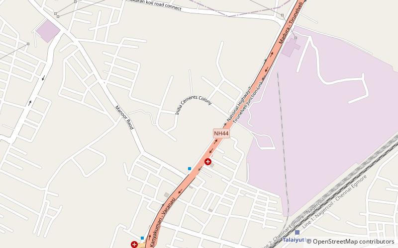
Pettai is an industrial suburban area in Tirunelveli City. It is approximately 6 kilometers of downtown Tirunelveli along the Southern Railway line to Tenkasi. It is been administered by the Tirunelveli City Municipal Corporation. ()
Coordinates: 8°43'23"N, 77°39'42"E
Address
Thirunelveli
ContactAdd
Social media
Add
Day trips
Pettai – popular in the area (distance from the attraction)
Nearby attractions include: Nellaiappar Temple, Holy Trinity Cathedral, Adichanallur, Melapalayam.


