Budshah Bridge, Srinagar
Map
Facts and practical information
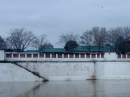
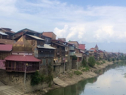
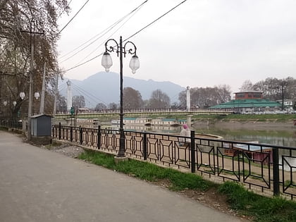
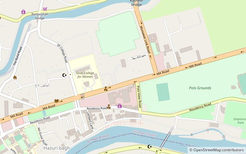
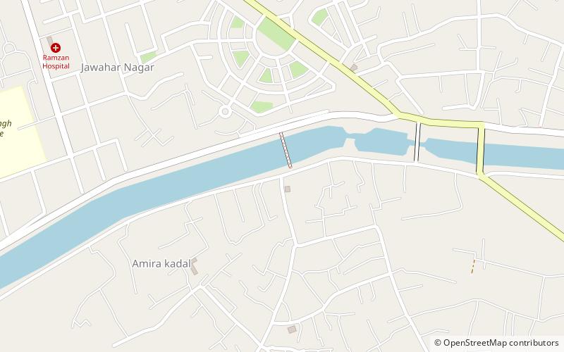
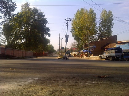
Budshah Bridge, locally also known as Budshah Kadal, is a concrete bridge located in the Srinagar city of the Indian union territory of Jammu and Kashmir. It was first built in 1957 during the rule of Bakshi Ghulam Mohammad and is named after the 15th Century ruler of Kashmir, Zain-ul-Abidin, popularly known as Budshah. ()
Coordinates: 34°4'18"N, 74°48'24"E
Address
Srinagar
ContactAdd
Social media
Add
Day trips
Budshah Bridge – popular in the area (distance from the attraction)
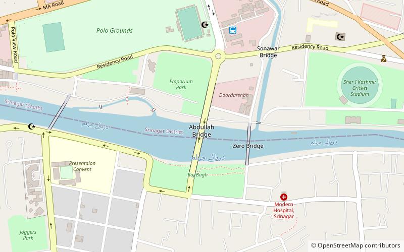
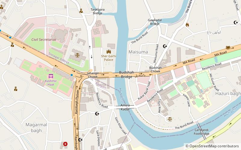
Nearby attractions include: Sher Garhi Palace, Habba Kadal, Abdullah Bridge, Lal Mandi Footbridge.
Frequently Asked Questions (FAQ)
Which popular attractions are close to Budshah Bridge?
Nearby attractions include Sher Garhi Palace, Srinagar (3 min walk), Lal Mandi Footbridge, Srinagar (11 min walk), Maisuma, Srinagar (11 min walk), Pratap Park, Srinagar (11 min walk).
How to get to Budshah Bridge by public transport?
The nearest stations to Budshah Bridge:
Bus
Bus
- Jahangir Chowk Bus Stop • Lines: Fruit Mandi to Jehangir Chowk (4 min walk)
- Batamaloo Bus Stop • Lines: Fruit Mandi to Jehangir Chowk (19 min walk)
