Bhuli, Dhanbad
Map
Facts and practical information
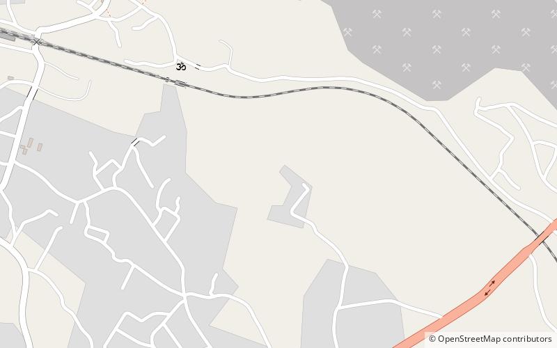
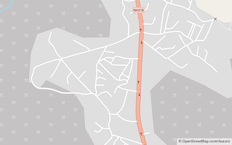
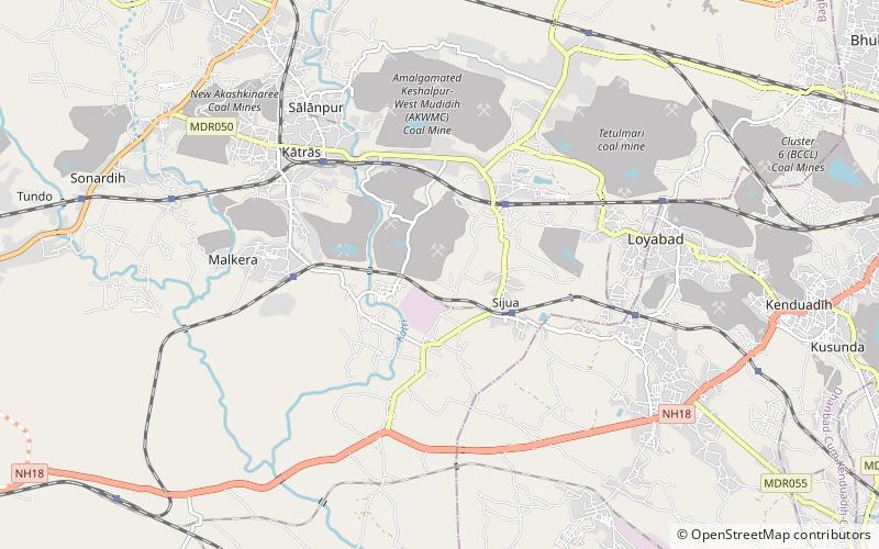
Bhuli is a neighbourhood in Dhanbad in Dhanbad Sadar subdivision of Dhanbad district in Jharkhand, India. ()
Address
Dhanbad
ContactAdd
Social media
Add
Getting there by public transportation
Public transportation stops near this location
- Train
 Train
Train
- Calculate routeKusunda Junction 28 min walk
- Calculate routeBhuli 33 min walk
Day trips
Frequently Asked Questions (FAQ)
Which popular attractions are close to Bhuli?
Nearby attractions include Basaria, Dhanbad (14 min walk), Kenduadih, Dhanbad (18 min walk).
How to get to Bhuli by public transport?
The nearest stations to Bhuli:
Train
Train
- Kusunda Junction (28 min walk)
- Bhuli (33 min walk)