Ferry Wharf, Mumbai
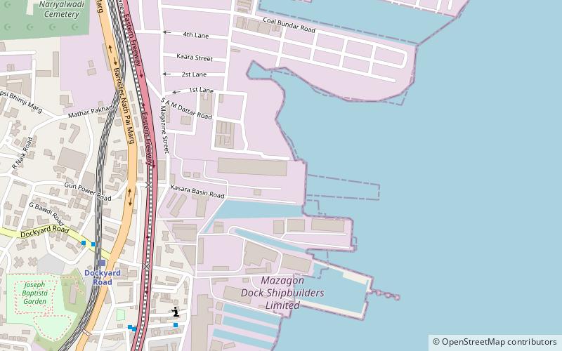
Map
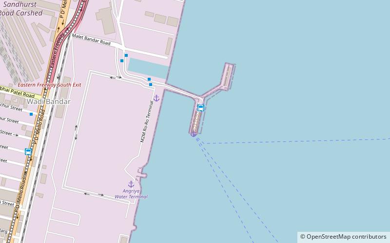
Map

Facts and practical information
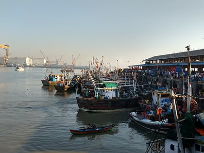
Bhaucha Dhakka is a wharf along the Thane Creek, along the coast of Dockyard Road on the Eastern seafront of Mumbai, the capital of the Indian state of Maharashtra. The wharf serves as the port for numerous fishermen who bring in their daily catch. Ferry services link up JNPT, Uran to the east, and Rewas and Mandwa to the south. The wharf is used by the students of the Training Ship Rahaman which is an institute for maritime studies on the island of Nhava. ()
Coordinates: 18°57'23"N, 72°50'57"E
Address
Malet Bandar Rd, Princess DockMumbai
ContactAdd
Social media
Add
Day trips
Ferry Wharf – popular in the area (distance from the attraction)
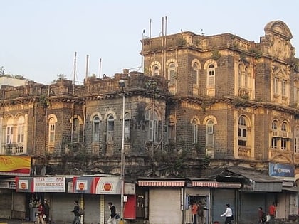
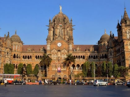
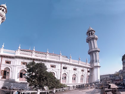
Nearby attractions include: Crawford Market, Bhendi Bazaar, Raudat Tahera, Capitol Cinema.
Frequently Asked Questions (FAQ)
Which popular attractions are close to Ferry Wharf?
Nearby attractions include Mumbai Harbour, Mumbai (7 min walk), Chinatown, Mumbai (18 min walk), Ballard Estate, Mumbai (18 min walk), Church of Our Lady of Health, Mumbai (20 min walk).
How to get to Ferry Wharf by public transport?
The nearest stations to Ferry Wharf:
Bus
Train
Bus
- Bhaucha Dhakka / Ferry Wharf (2 min walk)
Train
- Sandhurst Road (19 min walk)
- Masjid (20 min walk)
