Nandini Layout, Bangalore
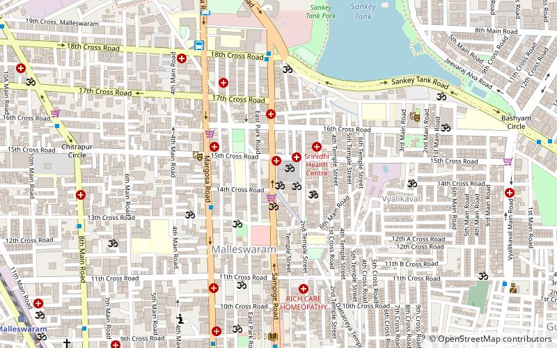
Map
Facts and practical information
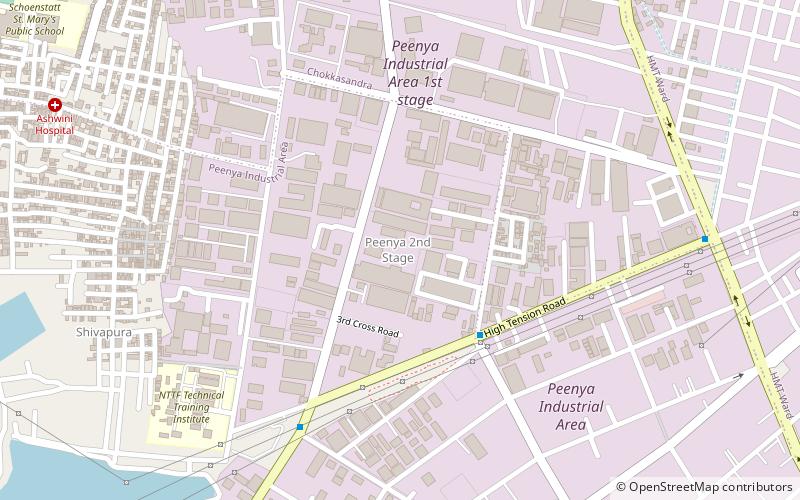
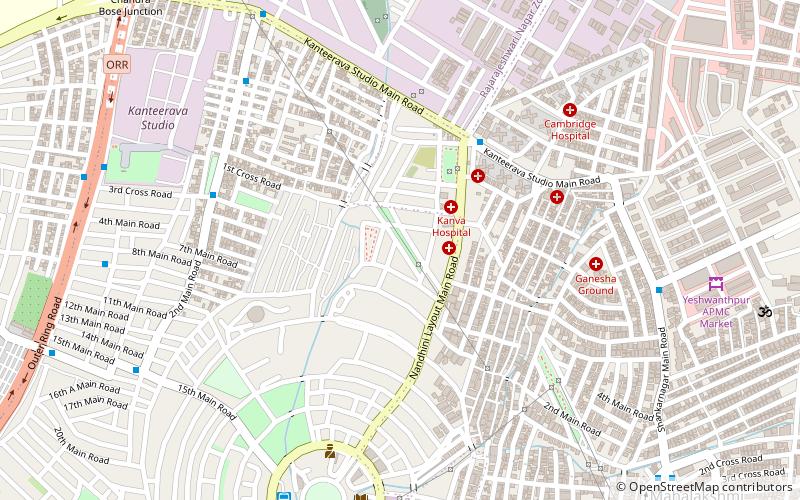
Nandini Layout was a village before it was converted into a residential area and is located in west Bangalore. It is 7 km from Majestic. It is famous for parks. Adjacent to the Main Bus stand is the Nandini Layout Central Park, also known as Circular Park, as it is circular in shape and is concentrically surrounded by roads. Nandini Layout is surrounded by Peenya, Kurubarahalli, Mahalakshmi Layout and Yeswanthpur. It is known as the Ooty of Bangalore for its trees and greenery. ()
Coordinates: 13°0'60"N, 77°32'18"E
Address
Nandini LayoutBangalore
ContactAdd
Social media
Add
Day trips
Nandini Layout – popular in the area (distance from the attraction)
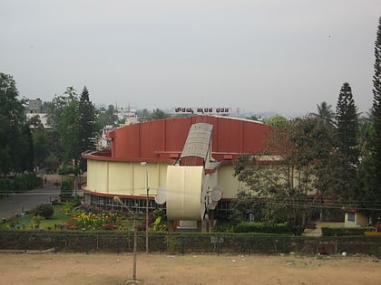
Nearby attractions include: Mantri Square, ISKCON Temple, St. Mary's Orthodox Valiyapally, Chowdiah Memorial Hall.
Frequently Asked Questions (FAQ)
How to get to Nandini Layout by public transport?
The nearest stations to Nandini Layout:
Bus
Metro
Train
Bus
- Krishnananda Nagar • Lines: 252F, 79G (5 min walk)
- Shankar Nagar • Lines: 252F, 79G (10 min walk)
Metro
- Goraguntepalya • Lines: Green (22 min walk)
- Yeshwantpura • Lines: Green (23 min walk)
Train
- Yesvantpur Junction (25 min walk)


