Kapasheda Border, Delhi
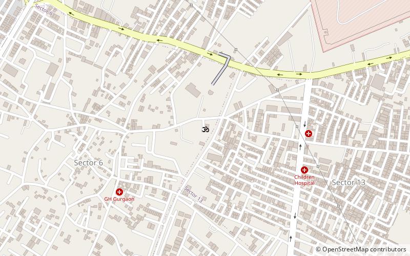
Map
Facts and practical information
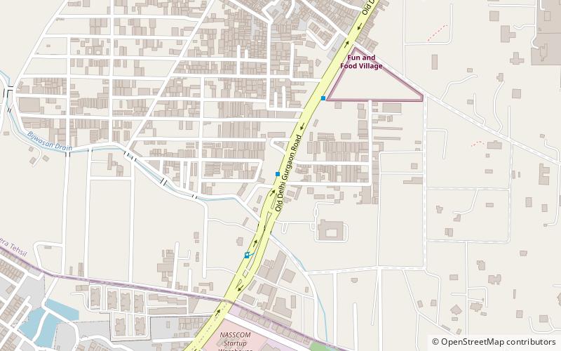
Kapashera Border is one of the main Borders of Delhi. It connects Delhi to Gurugram district of Haryana state. The road connecting two said cities is referred to as Old Delhi-Gurgaon Road. ()
Coordinates: 28°31'17"N, 77°4'55"E
Address
South West Delhi (Bijwasan)Delhi
ContactAdd
Social media
Add
Day trips
Kapasheda Border – popular in the area (distance from the attraction)
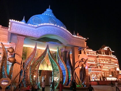
Nearby attractions include: DLF Emporio, Sultan Ghari, DLF Golf and Country Club, Appu Ghar.
Frequently Asked Questions (FAQ)
How to get to Kapasheda Border by public transport?
The nearest stations to Kapasheda Border:
Bus
Bus
- Kapashera Village • Lines: 543A, 717A, 718, 729, 790, F-701, F-839A (5 min walk)
- Kapashera Crossing • Lines: 543A, 578, 717A (20 min walk)
 Metro
Metro