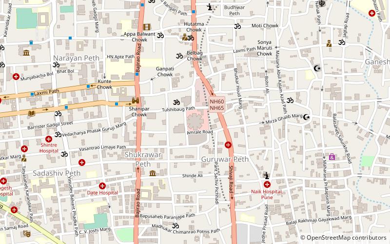
Dhankawadi, Pune
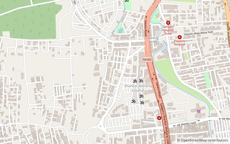
Map
Facts and practical information
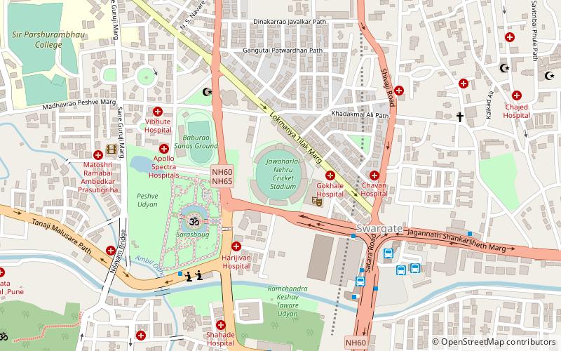
Dhankawadi was an outlying borough of the city of Pune in the state of Maharashtra. It lies on the southern edge of the city along old Route 4 just north of where the Route 4 bypass leaves old Route 4, about 6.5 kilometres south of the Pune city centre. ()
Coordinates: 18°28'20"N, 73°51'14"E
Address
Pune
ContactAdd
Social media
Add
Day trips
Dhankawadi – popular in the area (distance from the attraction)
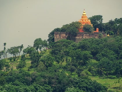
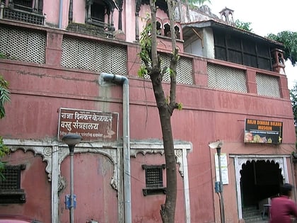
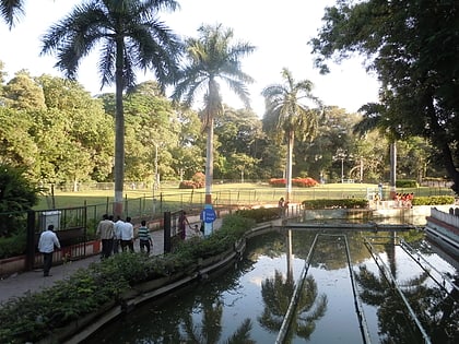
Nearby attractions include: Nehru Stadium, Pu La Deshpande Garden, Mahatma Phule Mandai, Parvati Hill.
Frequently Asked Questions (FAQ)
How to get to Dhankawadi by public transport?
The nearest stations to Dhankawadi:
Bus
Bus
- Katraj-Sarpodyan Bus Depot (32 min walk)
- PMPML Marketyard Depot (35 min walk)
