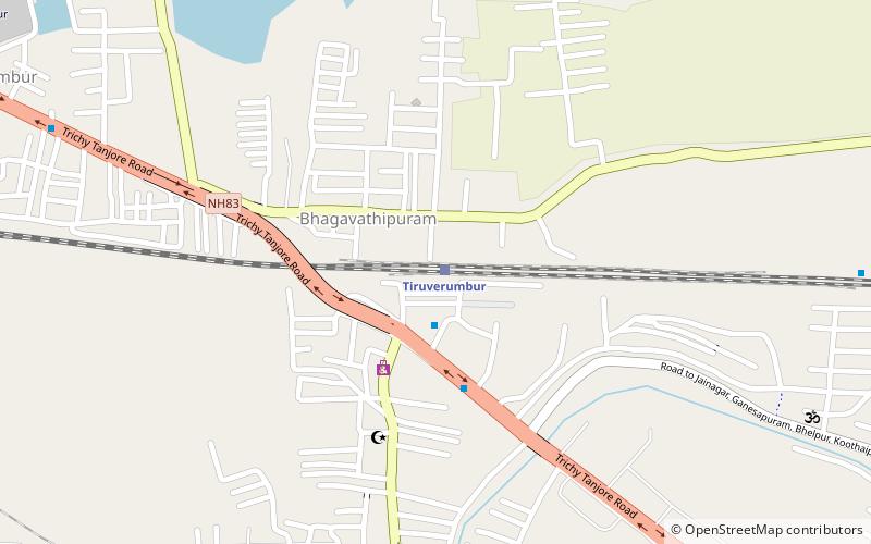
Thiruverumbur taluk, Tiruchirappalli
Map
Facts and practical information
Thiruverumbur taluk is a taluk of Tiruchirappalli district of the Indian state of Tamil Nadu. The headquarters is the town of Thiruverumbur.Corporation wards 61 to 65 takes place. This taluk consist of 30 revenue villages. ()
Coordinates: 10°47'15"N, 78°46'35"E
Address
Tiruchirappalli
ContactAdd
Social media
Add
Getting there by public transportation
Public transportation stops near this location
- Train
 Train
Train
- Calculate routeTiruverumbur 1 min walk
Day trips


Frequently Asked Questions (FAQ)
How to get to Thiruverumbur taluk by public transport?
The nearest stations to Thiruverumbur taluk:
Train
Train
- Tiruverumbur (1 min walk)