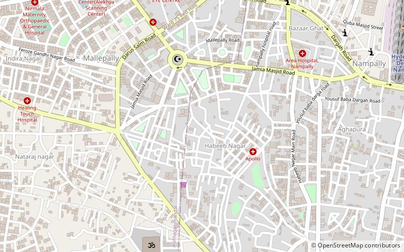
Mallepally, Hyderabad
Map
Facts and practical information
Mallepally is located near Asifnagar in Hyderabad, India. It is a locality in Hyderabad District and one of the old suburbs that have existed for a long while now. It is one of the oldest localities to exist in the history of Hyderabad during the time of Nizams. ()
Coordinates: 17°23'21"N, 78°27'32"E
Address
Erstwhile Circle-IV (Mallepally)Hyderabad
ContactAdd
Social media
Add
Getting there by public transportation
Public transportation stops near this location
- Metro
- Bus
- Train
 Metro
Metro
- Calculate routeHyderabad Deccan Nampally 16 min walk
- Calculate routeLakdi-ka-pul 27 min walk
- Calculate routeNampally 20 min walk
- Calculate routeGandhi Bhavan 26 min walk
- Calculate routeAssembly 26 min walk
- Calculate routeLakdi-ka-pul 28 min walk
- Calculate routeMehdipatnam Bus Depot 31 min walk
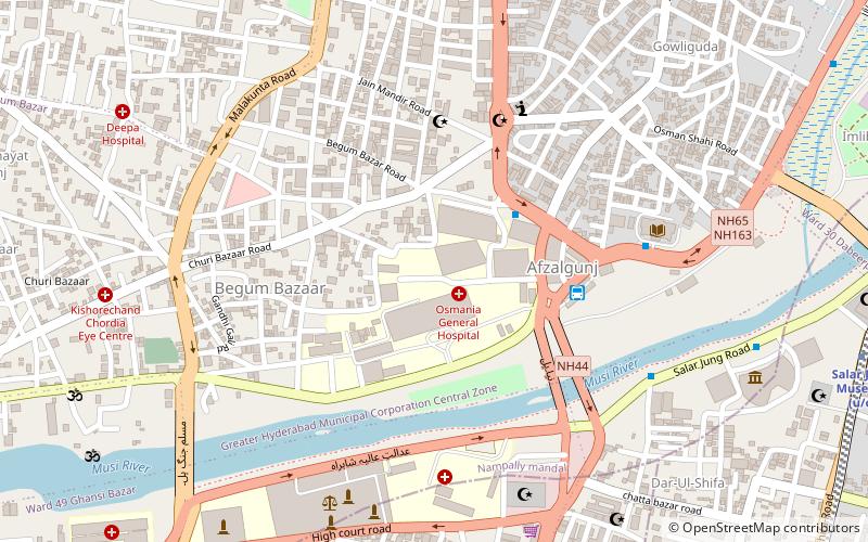
- Calculate routeAfzalgunj 42 min walk
Day trips


Frequently Asked Questions (FAQ)
Which popular attractions are close to Mallepally?
Nearby attractions include Bazarghat, Hyderabad (8 min walk), Asif Nagar, Hyderabad (11 min walk), Aghapura, Hyderabad (11 min walk), Nampally, Hyderabad (13 min walk).
How to get to Mallepally by public transport?
The nearest stations to Mallepally:
Train
Metro
Bus
Train
- Hyderabad Deccan Nampally (16 min walk)
- Lakdi-ka-pul (27 min walk)
Metro
- Nampally • Lines: Red Line (20 min walk)
- Gandhi Bhavan • Lines: Red Line (26 min walk)
Bus
- Mehdipatnam Bus Depot (31 min walk)
- Afzalgunj (42 min walk)