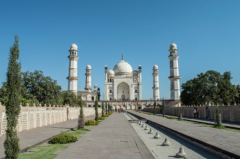
Neighborhoods of Aurangabad, Aurangabad
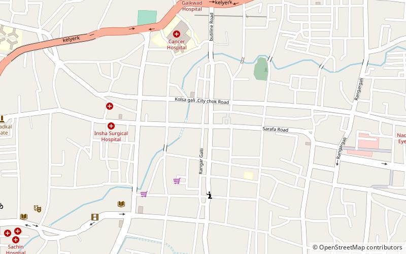
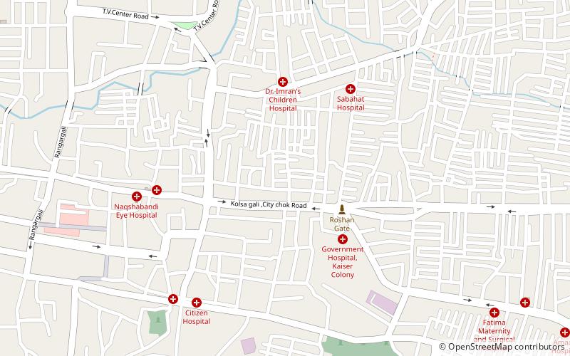
Map
Facts and practical information
When Aurangzeb made Aurangabad his capital, there were 54 suburbs which were walled in like the city itself, but the chief of these that were populated in the 19th century were Begampura and Aurang-pura. ()
Coordinates: 19°53'18"N, 75°19'48"E
Address
Aurangabad
ContactAdd
Social media
Add
Getting there by public transportation
Public transportation stops near this location
- Bus
 Bus
Bus
- Calculate routeAurangabad Central Bus Station 26 min walk
Day trips


Frequently Asked Questions (FAQ)
How to get to Neighborhoods of Aurangabad by public transport?
The nearest stations to Neighborhoods of Aurangabad:
Bus
Bus
- Aurangabad Central Bus Station (26 min walk)