Kasarvadavali, Thane
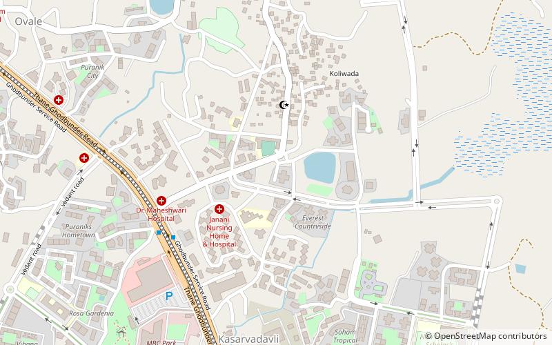
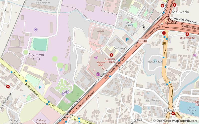
Map
Facts and practical information
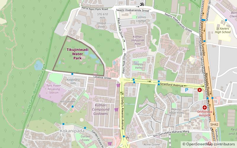
Kasar Vadavali is a region located on Ghodbunder Road of Thane city in Maharashtra state in India. The area lying between the regions of Waghbil and Bhainderpada is called Kasar Vadavali or simply Vadavali. The area has seen massive population growth with a lot of new residential and commercial projects being completed in the last decade, along with the rise of commercial activity. ()
Coordinates: 19°16'17"N, 72°58'8"E
Address
Thane
ContactAdd
Social media
Add
Day trips
Kasarvadavali – popular in the area (distance from the attraction)
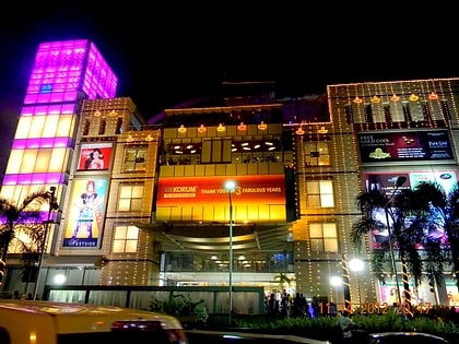
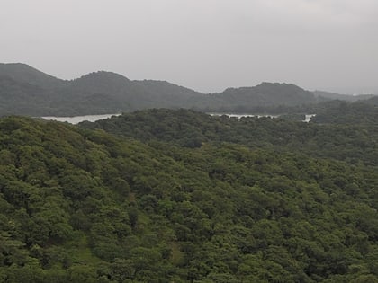
Nearby attractions include: Kanheri Caves, Korum Mall, Sanjay Gandhi National Park, Dadaji Kondadev Stadium.
Frequently Asked Questions (FAQ)
How to get to Kasarvadavali by public transport?
The nearest stations to Kasarvadavali:
Bus
Bus
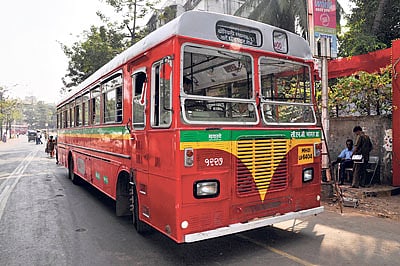
- Kasarwadawli Naka • Lines: 54 (7 min walk)
- Muchhala College • Lines: 54, 61 (15 min walk)

