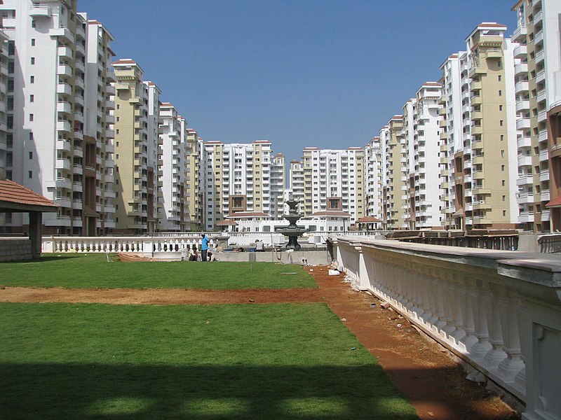
Marathahalli, Bangalore

Gallery (3)
Map
Map
Gallery
Facts and practical information
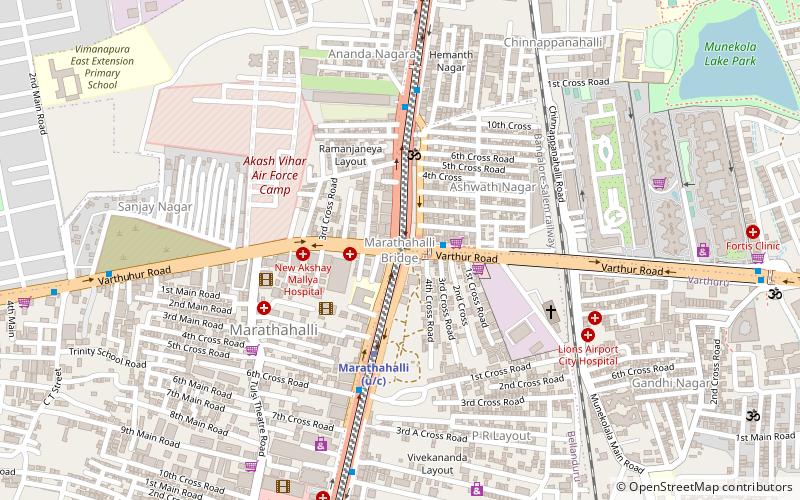
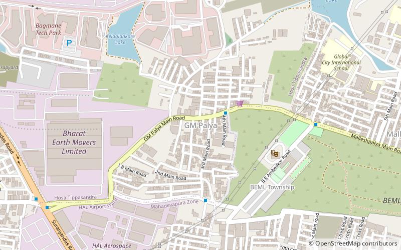
Marathahalli is an eastern suburb of Bangalore city in Karnataka state of India. The locality is named after the Marut fighter aircraft developed at a HAL facility nearby. ()
Coordinates: 12°57'25"N, 77°42'4"E
Address
Bangalore
ContactAdd
Social media
Add
Getting there by public transportation
Public transportation stops near this location
- Bus
 Bus
Bus
- Calculate routeMarathahalli Bridge 1 min walk
- Calculate routeMunekolala bus stand 19 min walk
- Calculate routeKarthik Nagar 21 min walk
Day trips


Frequently Asked Questions (FAQ)
How to get to Marathahalli by public transport?
The nearest stations to Marathahalli:
Bus
Bus
- Marathahalli Bridge • Lines: 333 (1 min walk)
- Munekolala bus stand (19 min walk)