Undavalli, Vijayawada
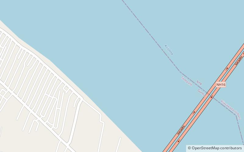
Map
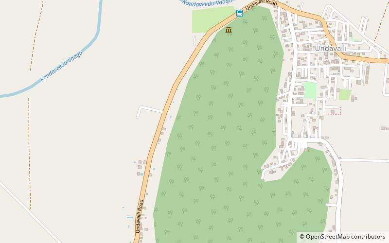
Map

Facts and practical information
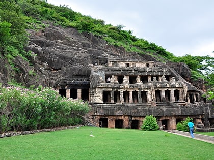
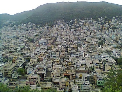
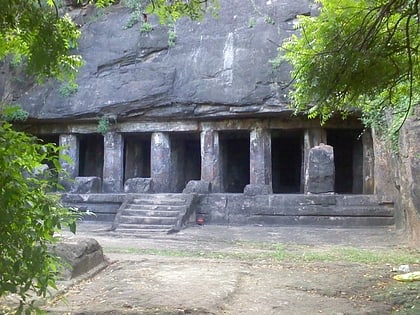
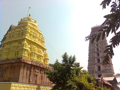
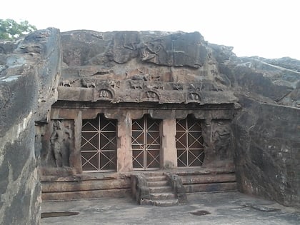
Undavalli is a neighbourhood situated between the state capital Amaravati and Vijayawada city of the Indian state of Andhra Pradesh. It was a village in Tadepalle mandal of Guntur district, prior to its de-notification as gram panchayat. 5th century Buddhist and Hindu Undavalli Caves which signify Monolithic Indian rock-cut architecture are present at this place. It is a part of Vijayawada Urban Agglomeration. ()
Area: 5.04 mi²Coordinates: 16°29'34"N, 80°34'49"E
Address
Vijayawada
ContactAdd
Social media
Add
Day trips
Undavalli – popular in the area (distance from the attraction)
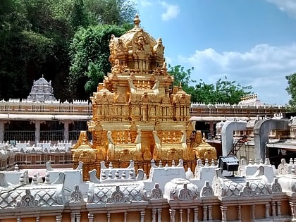
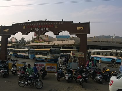
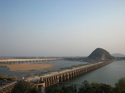
Nearby attractions include: Undavalli Caves, Kanaka Durga Temple, Pandit Nehru bus station, Prakasam Barrage.
Frequently Asked Questions (FAQ)
Which popular attractions are close to Undavalli?
Nearby attractions include Undavalli Caves, Vijayawada (8 min walk), Penumaka, Vijayawada (20 min walk).
How to get to Undavalli by public transport?
The nearest stations to Undavalli:
Bus
Bus
- Bus no.301,345 to Vijayawada (9 min walk)

