Chromepet
Map
Map

Facts and practical information
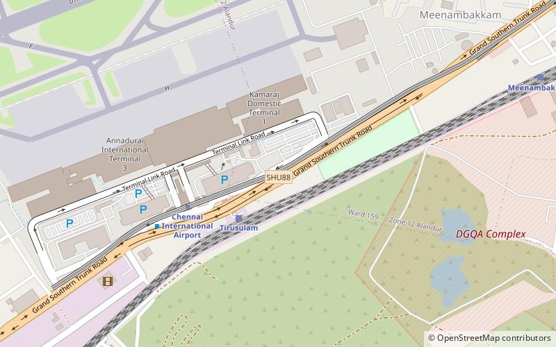
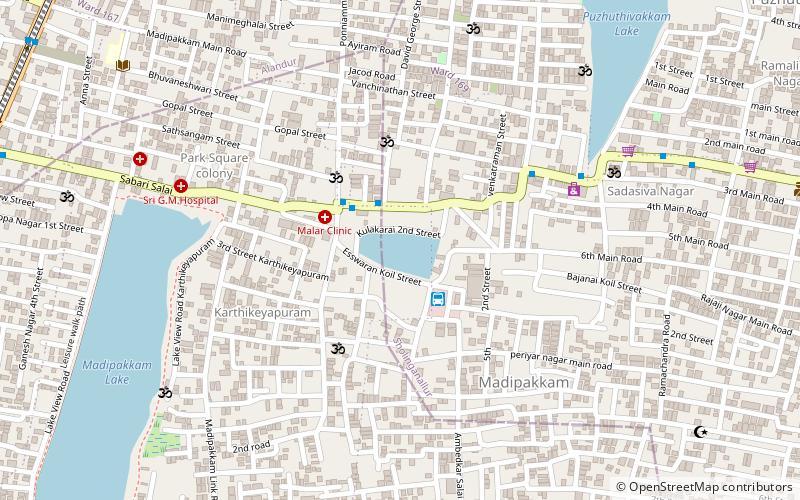
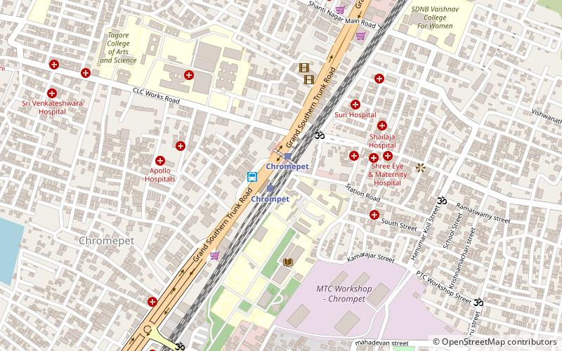
Chromepet is a suburban neighbourhood of Chennai, India. Located in the southern Chennai Metropolitan Area, it is governed by the Tambaram Municipal Corporation. Chromepet is located 22 km from the Chennai Central Railway Station, and lies on the Grand Southern Trunk, close to Thirumudivakkam and Tambaram, and next to Pallavaram. The 200-feet road connects Chromepet with Thoraipakkam. Chromepet is 6 km from Outer Ring Road, Thirumudivakkam, and 4 km south of the Chennai International Airport at Trisulam. ()
Coordinates: 12°57'6"N, 80°8'27"E
Location
Tamil Nadu
ContactAdd
Social media
Add
Day trips
Chromepet – popular in the area (distance from the attraction)
Nearby attractions include: Chitlapakkam Lake, Tambaram, Dhenupureeswarar Temple, Chromepet Flyover.


