Juhapura, Ahmedabad
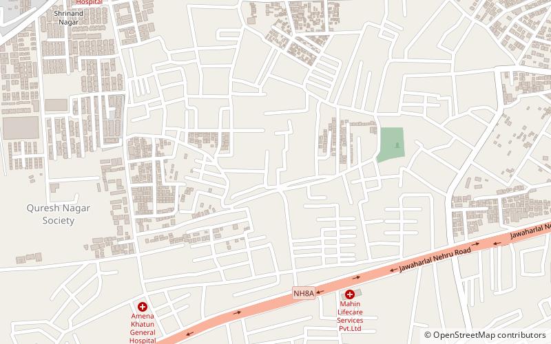
Map
Facts and practical information
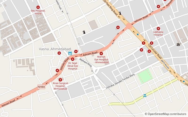
Juhapura is a neighbourhood in New West Zone of Ahmedabad, Gujarat, India near Sarkhej, along the National Highway 8A that goes towards Saurashtra and Kutch. The area was developed in 1973 for the people who lost houses in flood, it was founded then prime minister of India Mrs. Indira Gandhi. The first housing society of the area was Sarni Kamdar. ()
Coordinates: 22°59'48"N, 72°31'24"E
Address
Ahmedabad
ContactAdd
Social media
Add
Day trips
Juhapura – popular in the area (distance from the attraction)
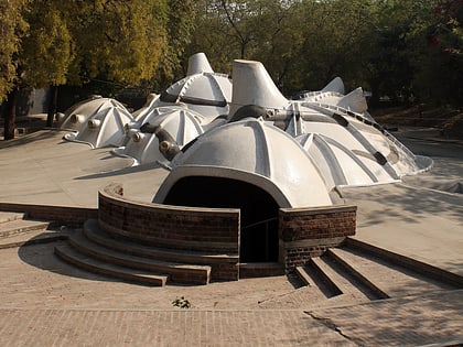
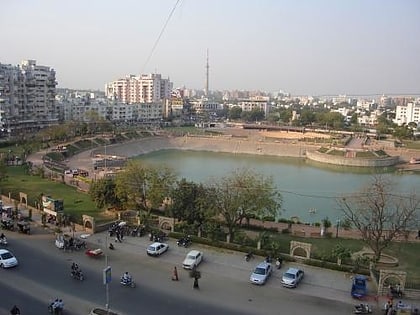
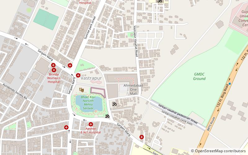
Nearby attractions include: AlphaOne Mall, Sanskar Kendra, Amdavad ni Gufa, Vastrapur Lake.
Frequently Asked Questions (FAQ)
How to get to Juhapura by public transport?
The nearest stations to Juhapura:
Train
Train
- Vastrapur (22 min walk)

