Palavanthangal, Chennai
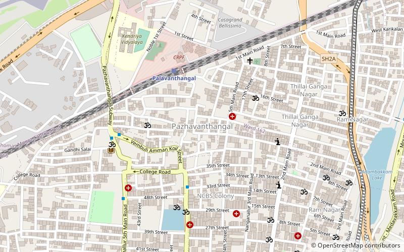
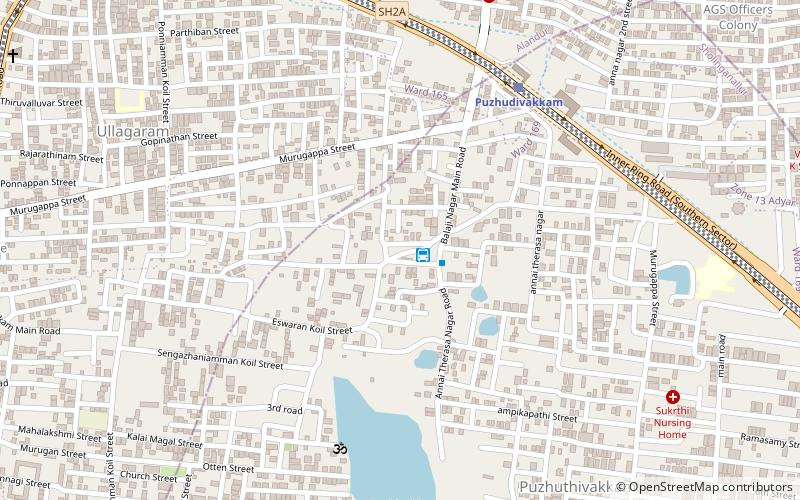
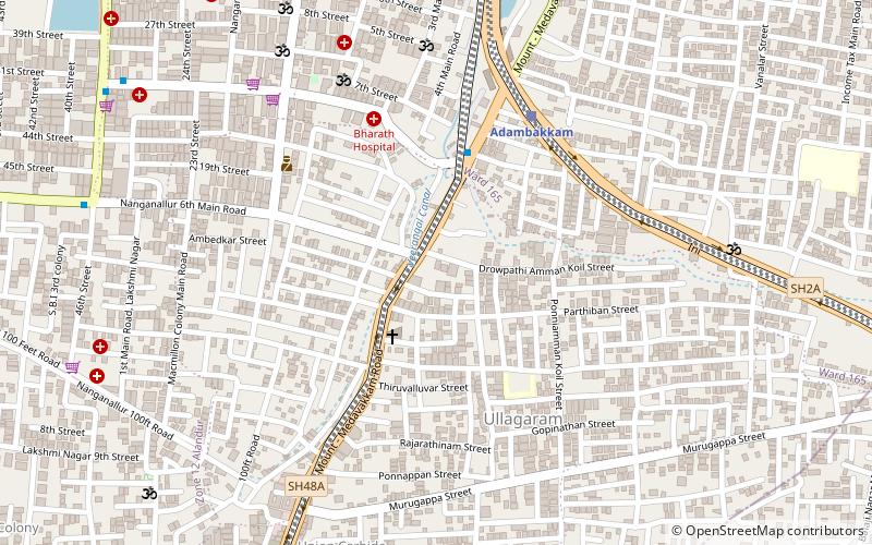
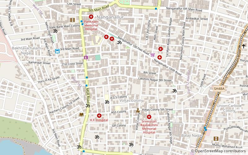
Map
Facts and practical information
Coordinates: 12°59'18"N, 80°11'21"E
Address
Chennai
ContactAdd
Social media
Add
Getting there by public transportation
Public transportation stops near this location
- Metro
- Bus
- Train
 Metro
Metro
- Calculate routePalavanthangal 5 min walk
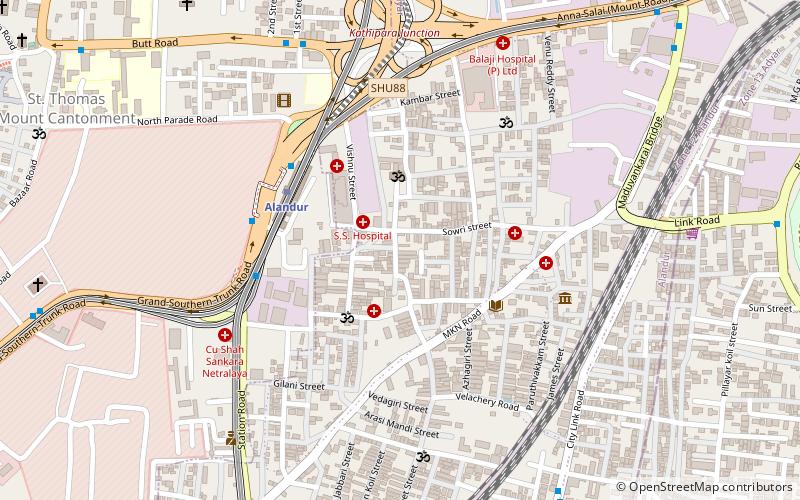
- Calculate routeSt. Thomas Mount 22 min walk
- Calculate routeMeenambakkam 25 min walk
- Calculate routeVanuvampet 17 min walk
- Calculate routeSt. Thomas Mount Railway Station 22 min walk
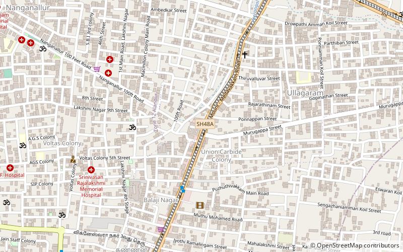
- Calculate routeNanganallur Bus Terminus 23 min walk
- Calculate routeKumaran Theater 28 min walk
- Calculate routeSt. Thomas Mount Metro 20 min walk
- Calculate routeMeenambakkam Metro 22 min walk
- Calculate routeNanganallur Road 22 min walk
- Calculate routeAlandur 36 min walk
Day trips


Frequently Asked Questions (FAQ)
Which popular attractions are close to Palavanthangal?
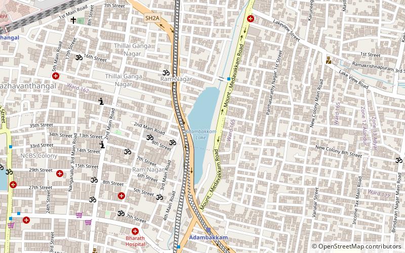
Nearby attractions include Anjaneya Temple, Chennai (10 min walk), Adambakkam Lake, Chennai (14 min walk), Subramania Nagar, Chennai (19 min walk), Adambakkam, Chennai (19 min walk).
How to get to Palavanthangal by public transport?
The nearest stations to Palavanthangal:
Train
Bus
Metro
Train
- Palavanthangal (5 min walk)
- St. Thomas Mount (22 min walk)
Bus
- Vanuvampet • Lines: 14M (17 min walk)
- St. Thomas Mount Railway Station • Lines: 14M (22 min walk)
Metro
- St. Thomas Mount Metro • Lines: 2 (20 min walk)
- Meenambakkam Metro • Lines: 1 (22 min walk)