Pal Heights, Bhubaneswar

Map
Facts and practical information
Pal Heights is a shopping mall located at Jayadev Vihar, Bhubaneswar in the state of Odisha, India. It has a floor area of two hundred thousand square feet. Opened in 2008, the mall is one of the largest malls in Odisha. The mall is next to the Pal Heights Hotel in Jaydev Vihar, a neighborhood of Bhubaneswar. It contains approximately 50 outlets, including cafeterias, food courts, and restaurants as well as parking spaces and a hypermarket. ()
Coordinates: 20°16'12"N, 85°50'24"E
Address
Bhubaneswar
ContactAdd
Social media
Add
Day trips
Pal Heights – popular in the area (distance from the attraction)
Nearby attractions include: Odisha State Museum, Museum of Tribal Arts and Artifacts, Hanuman Temple, Esplanade One.
Frequently Asked Questions (FAQ)
Which popular attractions are close to Pal Heights?
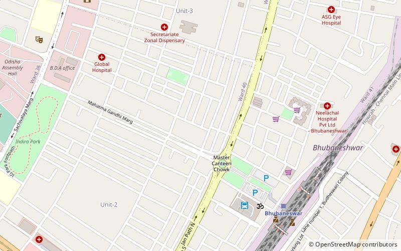
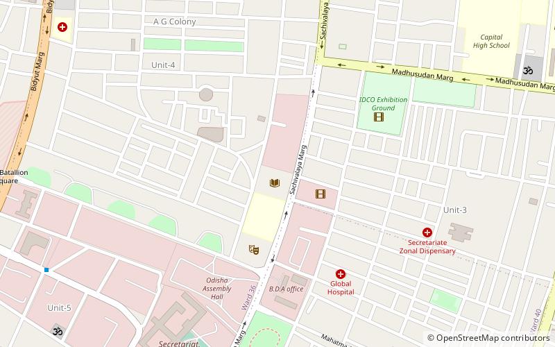
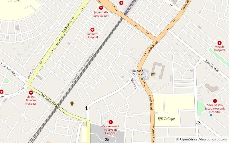
Nearby attractions include Hanuman Temple, Bhubaneswar (8 min walk), Utkal University of Culture, Bhubaneswar (13 min walk), Harekrushna Mahtab State Library, Bhubaneswar (15 min walk).
How to get to Pal Heights by public transport?
The nearest stations to Pal Heights:
Bus
Train
Bus
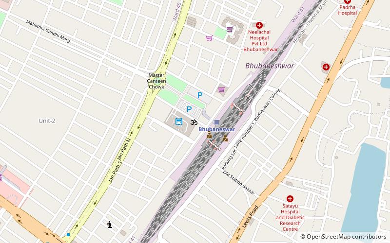
- Railway Station (7 min walk)
Train
- Bhubaneswar (9 min walk)


