Gwalior International Cricket Stadium, Gwalior

Map
Facts and practical information
Gwalior International Cricket Stadium is a new under construction international cricket stadium at Shankarpur village in Gwalior West by the Madhya Pradesh Cricket Association. The proposed stadium will be built on a land of 30 acres, which has been taken over by Gwalior Division Cricket Association under the supervision of cricketer and fast bowler Raja Naney from Malviya Nagar. The construction of the proposed stadium is expected to be completed in 2022. It will have a seating capacity of around 50,000 spectators. It will also be equipped with flood lights for night matches, a swimming pool, sauna bath, modern gym, dressing room, and 30 corporate boxes. ()
Coordinates: 26°14'2"N, 78°7'30"E
Address
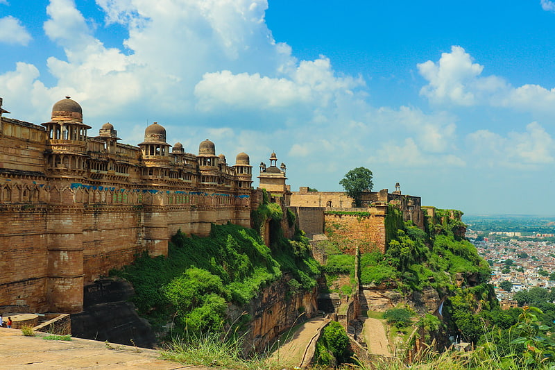
Gwalior
ContactAdd
Social media
Add
Getting there by public transportation
Public transportation stops near this location
- Train
 Train
Train
- Calculate routeMoti Jheel 40 min walk
Day trips


Frequently Asked Questions (FAQ)
How to get to Gwalior International Cricket Stadium by public transport?
The nearest stations to Gwalior International Cricket Stadium:
Train
Train
- Moti Jheel (40 min walk)