Mangrol State, Mangrol
Map
Facts and practical information
Mangrol State was a princely state in the Junagadh district of Gujarat, India. It was incorporated into Saurashtra State in 1949 following a referendum which determined to join India rather than Pakistan. ()
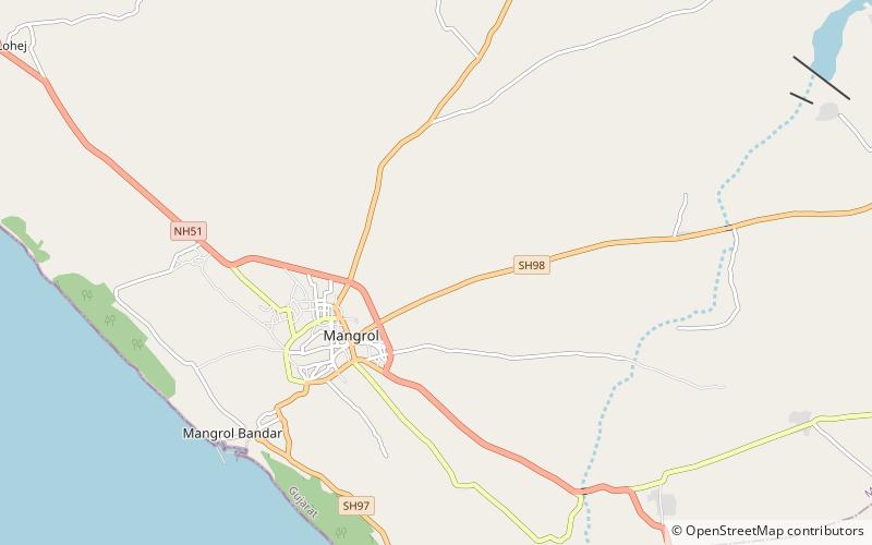
Coordinates: 21°7'60"N, 70°7'60"E
Address
Mangrol
ContactAdd
Social media
Add