Mugalivakkam, Ambattur

Map
Facts and practical information
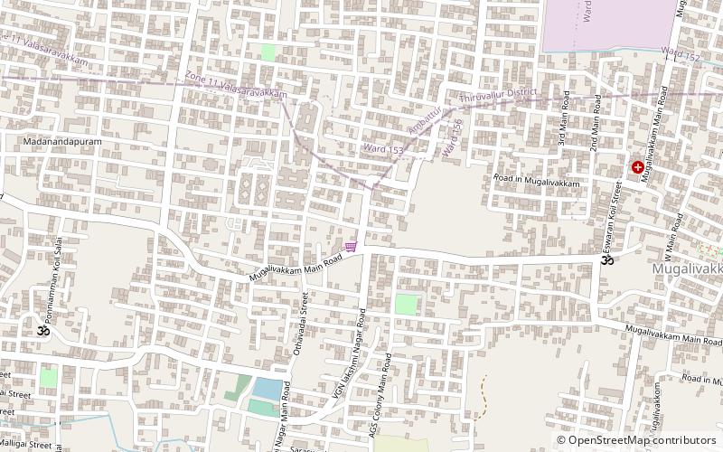
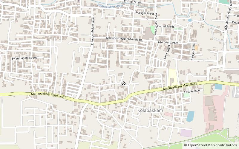
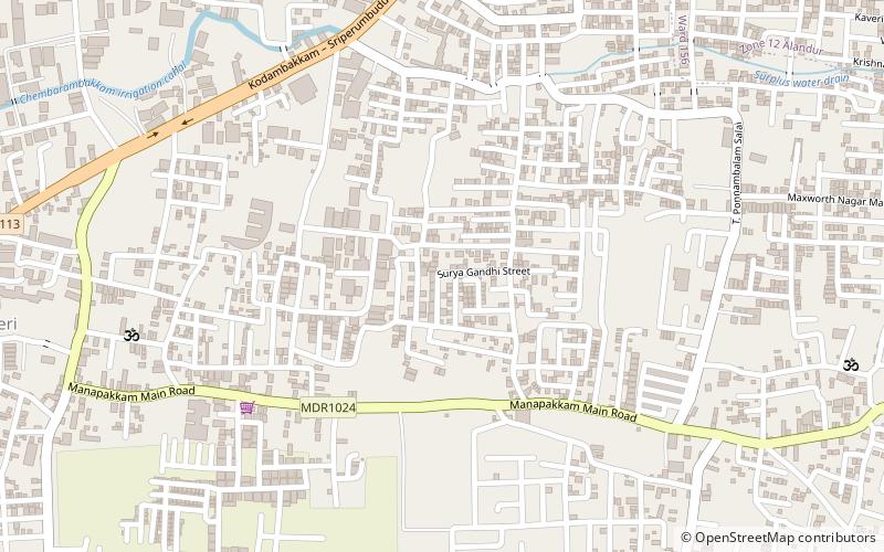
Mugalivakkam is a neighbourhood of Chennai. It is situated 16 km south-west of Chennai on the Mount-Poonamallee Road. It is bounded by Porur on the North Meenambakkam and Manapakkam on the South and South East, Madhanandhapuram and Gerugambakkam on the South West and Ramapuram on the North East directions. The nearest railway station is at Guindy which is about 6 kilometres away. Porur junction is around 2 km away and Kathipara Junction is around 5 km away. ()
Coordinates: 13°1'18"N, 80°9'38"E
Day trips
Mugalivakkam – popular in the area (distance from the attraction)
Nearby attractions include: Porur Lake, DLF Cybercity Chennai, Agasteeswarar Temple, Porur.
Frequently Asked Questions (FAQ)
How to get to Mugalivakkam by public transport?
The nearest stations to Mugalivakkam:
Bus
Bus
- Ramapuram Bus Stand (33 min walk)


