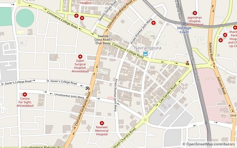
Mithakali, Ahmedabad
Map
Facts and practical information
Mithakali is a part of Ahmedabad city. Once a fairly nondescript and quiet place, it has recently seen a real estate explosion. ()
Coordinates: 23°2'3"N, 72°33'44"E
Address
Ahmedabad
ContactAdd
Social media
Add
Getting there by public transportation
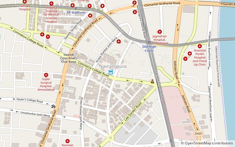
Public transportation stops near this location
- Bus
- Train
 Bus
Bus
- Calculate routeNavrangpura 4 min walk
- Calculate routeLal Darwaja AMTS Bus Stop 32 min walk
- Calculate routeGandhigram 18 min walk
Day trips


Frequently Asked Questions (FAQ)
Which popular attractions are close to Mithakali?
Nearby attractions include Navarangpura, Ahmedabad (5 min walk), Ashram Road, Ahmedabad (12 min walk), Ahmedabad University, Ahmedabad (14 min walk), Law Garden, Ahmedabad (14 min walk).
How to get to Mithakali by public transport?
The nearest stations to Mithakali:
Bus
Train
Bus
- Navrangpura (4 min walk)
- Lal Darwaja AMTS Bus Stop (32 min walk)
Train
- Gandhigram (18 min walk)