Mandi House, Delhi
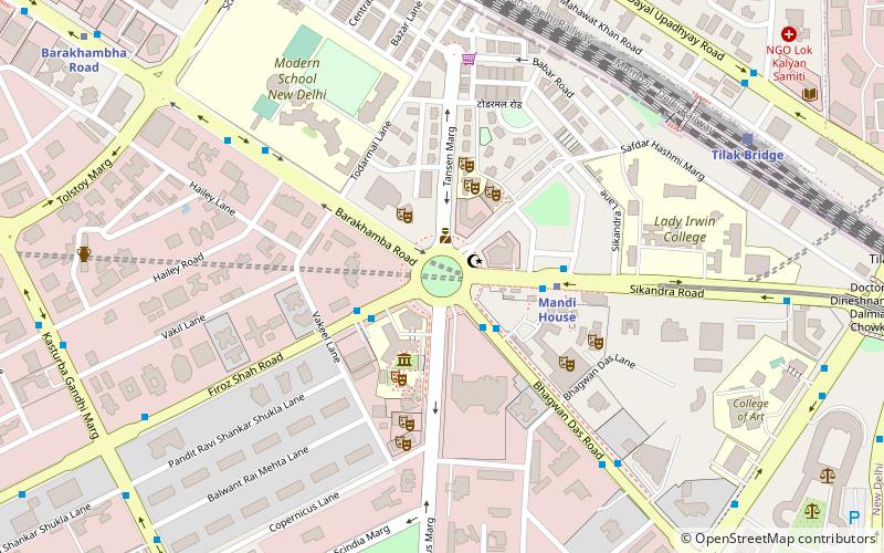
Map
Facts and practical information
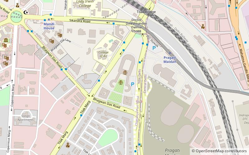
Mandi House is a locality in Delhi, India. It was the former residence of the Raja of Mandi in Delhi. ()
Elevation: 715 ft a.s.l.Coordinates: 28°37'32"N, 77°13'55"E
Address
New Delhi (N.D. Charge 1)Delhi
ContactAdd
Social media
Add
Day trips
Mandi House – popular in the area (distance from the attraction)
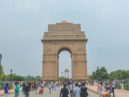
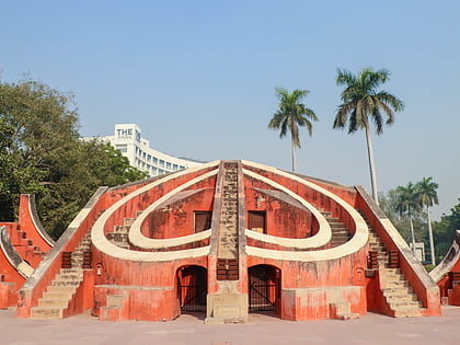
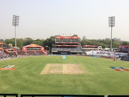
Nearby attractions include: India Gate, National Handicrafts and Handlooms Museum, Jantar Mantar, Arun Jaitley Stadium.
Frequently Asked Questions (FAQ)
Which popular attractions are close to Mandi House?
Nearby attractions include FICCI Skills Development Forum, Delhi (3 min walk), Triveni Kala Sangam, Delhi (3 min walk), Shri Ram College of Commerce, Delhi (3 min walk), Agrasen Ki Baoli, Delhi (11 min walk).
How to get to Mandi House by public transport?
The nearest stations to Mandi House:
Bus
Metro
Train
Bus
- Mandi House • Lines: 260, 270, 281, 310, 320, 349, 355, 378, 390, 391, 445, 445A, 706, 706A, 720, 722, 723, 73, 740, 740A, 740B, 740Ex, 740Ext, 770, 770A, 773, 793, 85, 85Ext (3 min walk)
- Modern School • Lines: 281, 349, 378, 390, 445, 445A, 73, 85, 85Ext (8 min walk)
Metro
- Mandi House • Lines: Blue Line, Violet Line (4 min walk)
- Barakhambha Road • Lines: Blue Line (13 min walk)
Train
- Tilak Bridge (11 min walk)
- Shivaji Bridge (16 min walk)
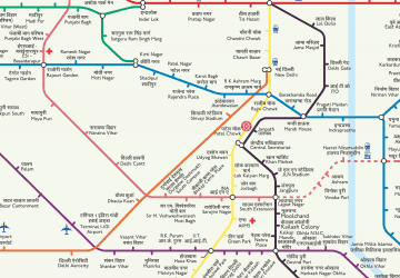 Metro
Metro