Asalfa, Mumbai

Gallery (1)
Map
Map
Facts and practical information
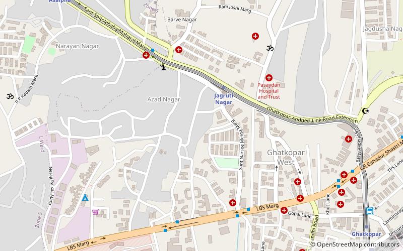
Asalpha or Asalfa is a neighbourhood in Ghatkopar, a suburb of Mumbai. ()
Coordinates: 19°5'28"N, 72°54'4"E
Address
Ghatkopar (Ghatkopar West)Mumbai
ContactAdd
Social media
Add
Getting there by public transportation
Public transportation stops near this location
- Metro
- Bus
- Train
 Metro
Metro
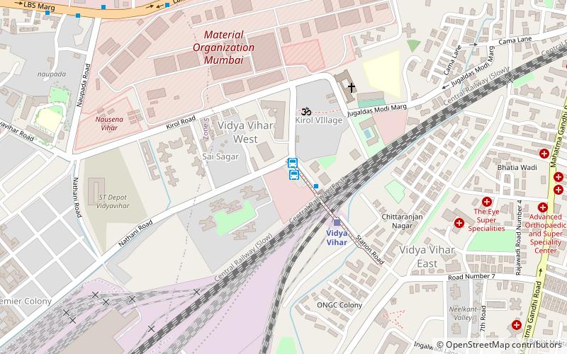
- Calculate routeJagruti Nagar 4 min walk
- Calculate routeGhatkopar 14 min walk
- Calculate routeAsalpha 14 min walk
- Calculate routeSaki Naka 31 min walk
- Calculate routeGhatkopar 14 min walk
- Calculate routeVidya Vihar West 21 min walk
- Calculate routeVidyavihar Depot 21 min walk
- Calculate routeGhatkopar Bus Terminus 29 min walk
- Calculate routeGhatkopar 15 min walk
- Calculate routeVidya Vihar 23 min walk
Day trips


Frequently Asked Questions (FAQ)
How to get to Asalfa by public transport?
The nearest stations to Asalfa:
Metro
Bus
Train
Metro
- Jagruti Nagar • Lines: 1 (4 min walk)
- Ghatkopar • Lines: 1 (14 min walk)
Bus
- Ghatkopar (14 min walk)
- Vidya Vihar West (21 min walk)
Train
- Ghatkopar (15 min walk)
- Vidya Vihar (23 min walk)