Kattumala
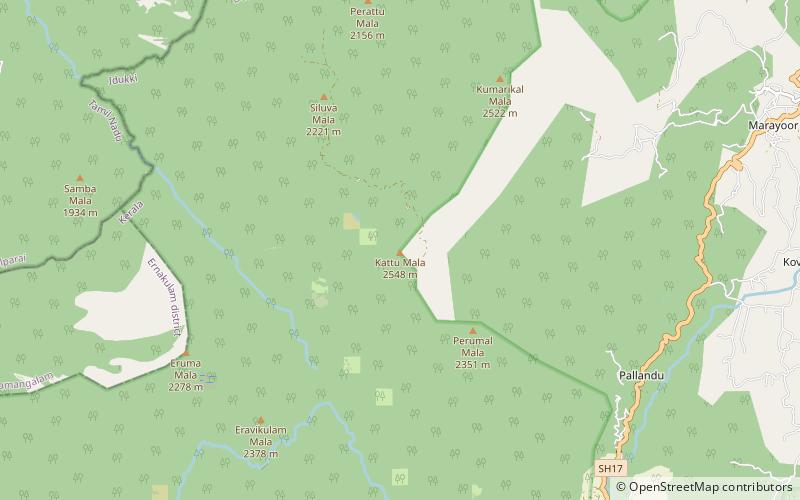
Map
Facts and practical information
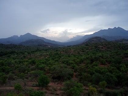
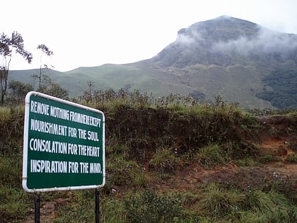
Kattumala is one of the highest peaks in the Idukki district in Kerala, India. It is the second highest peak in the Eravikulam National Park after Anamudi. It is also located near to Munnar. It stand at an altitude of 2,552m above sea level. It is the Eighth Highest Peak in South India. The Peak of Perumal Mala also lies very close to this peak. ()
Coordinates: 10°15'17"N, 77°5'52"E
Location
Kerala
ContactAdd
Social media
Add
Day trips
Kattumala – popular in the area (distance from the attraction)
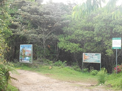
Nearby attractions include: Chinnar Wildlife Sanctuary, North Western Ghats montane rain forests, Eravikulam, Anamudi Shola National Park.
