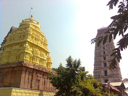
Penumaka, Vijayawada
Map
Map

Facts and practical information
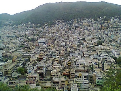
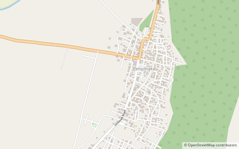
Penumaka is a part of Mangalagiri Tadepalle Municipal Corporation part of Guntur district which is part of Andhra Pradesh. It was a village in Tadepalle mandal of Guntur district, prior to its de–notification as gram panchayat. ()
Area: 7.47 mi²Coordinates: 16°28'60"N, 80°34'30"E
Address
Vijayawada
ContactAdd
Social media
Add
Day trips
Penumaka – popular in the area (distance from the attraction)
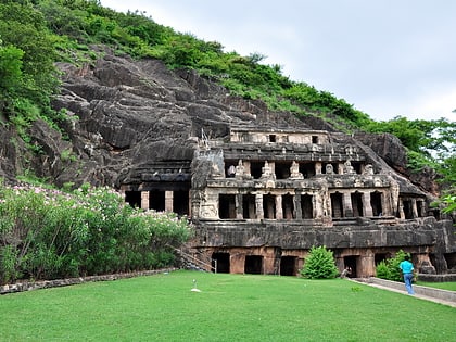
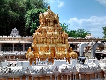
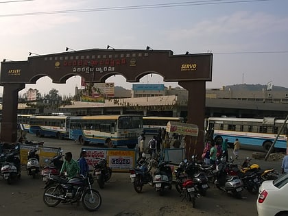
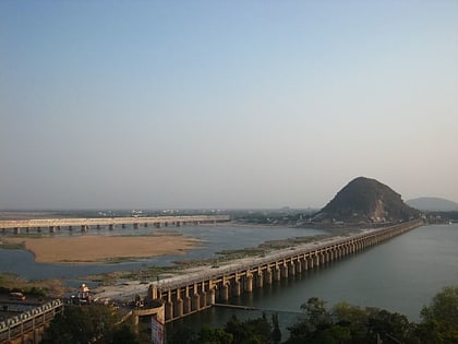
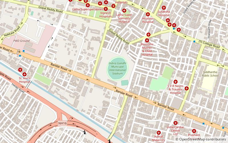
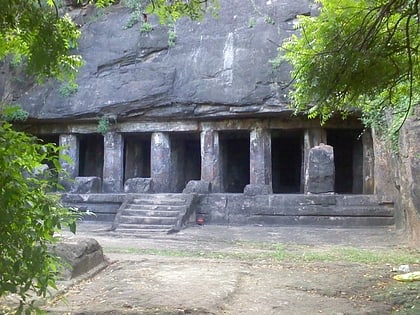
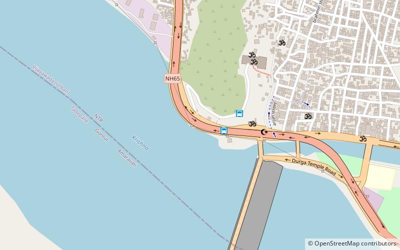
Nearby attractions include: Undavalli Caves, Kanaka Durga Temple, Pandit Nehru bus station, Prakasam Barrage.
Frequently Asked Questions (FAQ)
How to get to Penumaka by public transport?
The nearest stations to Penumaka:
Bus
Bus
- Bus no.301,345 to Vijayawada (28 min walk)

