Mount Kelimutu, Kelimutu

Gallery (1)
Map
Map
Facts and practical information
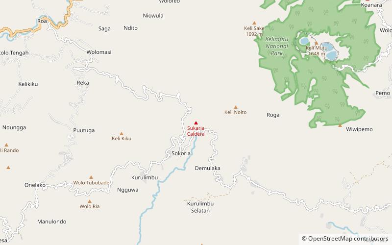
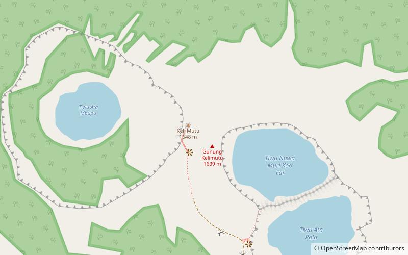
Mount Kelimutu is a place located in Kelimutu (East Nusa Tenggara province) and belongs to the category of top attraction, natural attraction, park.
It is situated at an altitude of 5233 feet, and its geographical coordinates are 8°45'52"S latitude and 121°48'47"E longitude.
Among other places and attractions worth visiting in the area are: Kelimutu National Park (national park, 57 min walk), Mount Sukaria (nature, 90 min walk), Ndete Napu (nature, 97 min walk).
Elevation: 5233 ft a.s.l.Coordinates: 8°45'52"S, 121°48'47"E
Address
Kelimutu
ContactAdd
Social media
Add
Day trips