Kelimutu National Park
Map
Map

Facts and practical information
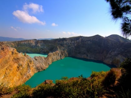
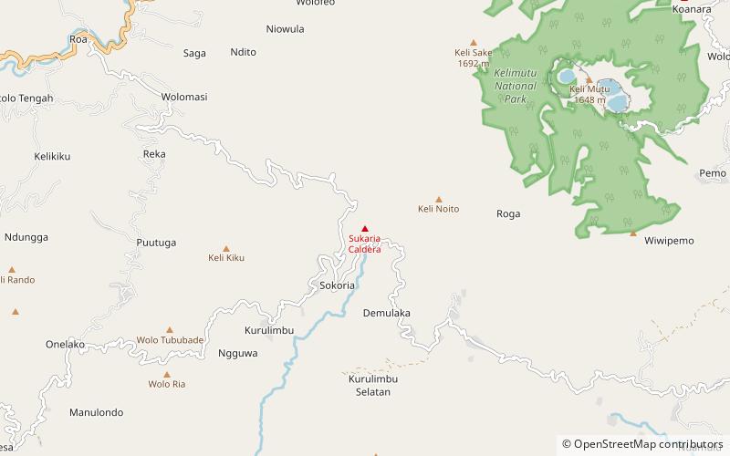
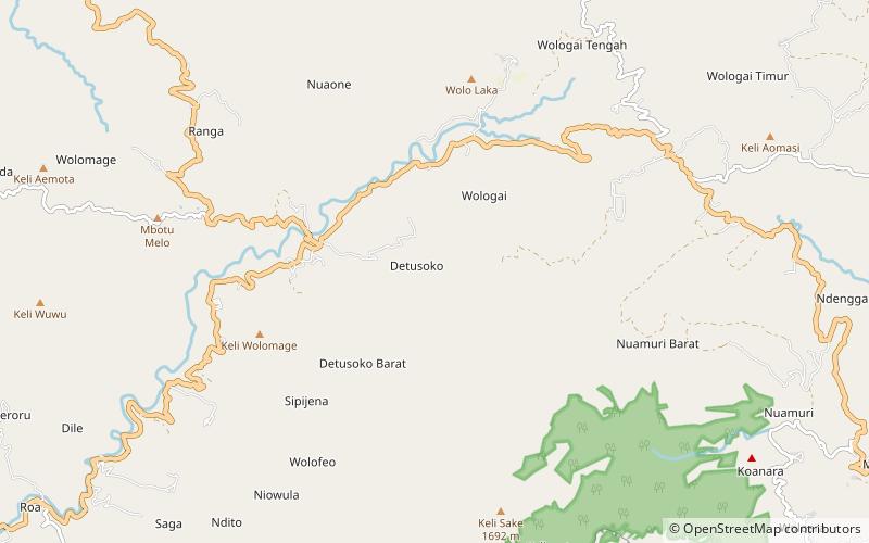
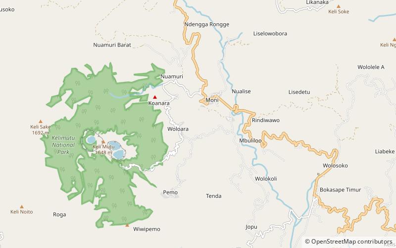
Kelimutu National Park is located on the island of Flores, East Nusa Tenggara, Indonesia. It consists of a region with hills and mountains, with Mount Kelibara as its highest peak. Mount Kelimutu, which has the three coloured lakes, is also located in this national park. This natural attraction is a destination for tourists. ()
Local name: Taman Nasional Kelimutu Established: 1992 (34 years ago)Area: 19.31 mi²Visitors per year: 12.5 thous.Elevation: 2864 ft a.s.l.Coordinates: 8°45'30"S, 121°50'42"E
Location
East Nusa Tenggara
ContactAdd
Social media
Add
Best Ways to Experience the Park
Wildlife
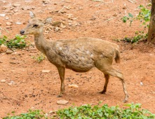
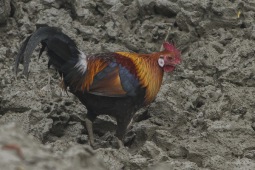
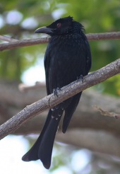
AnimalsSee what popular animal species you can meet in this location.
More
Day trips
Kelimutu National Park – popular in the area (distance from the attraction)
Nearby attractions include: Mount Kelimutu, Mount Sukaria, Ndete Napu.

