Fort Kalamata

Gallery (1)
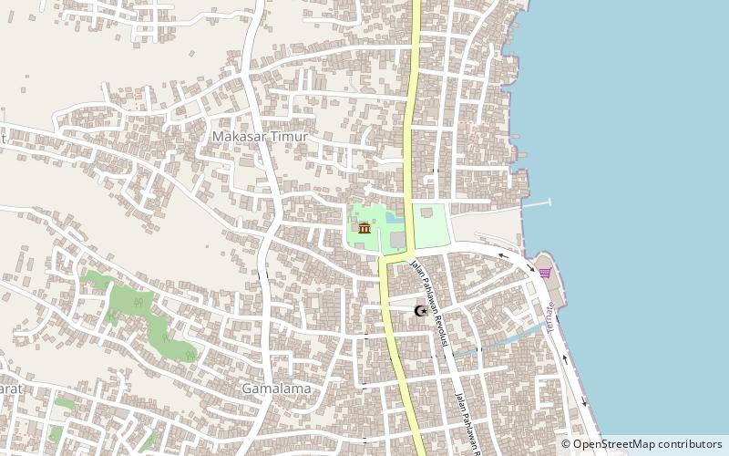
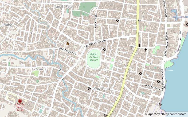
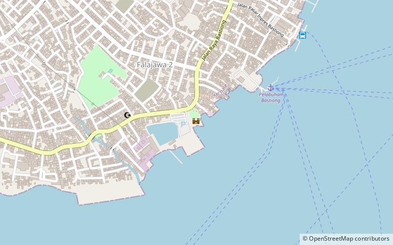
Map
Map
Facts and practical information
Fort Kalamata is a coastal star fort that was built by the Portuguese on the island of Ternate in Indonesia's Maluku Islands. Formerly known as Benteng Kayu Merah because it is located in Kayu Merah village, Originally the fort was named Santa Lucia, but later it became famous for Fort Kalamata. Kalamata itself comes from the name Pengeran Kalamata, the younger brother of the Sultan of Ternate Madarsyah ()
Location
Ternate - Maluku UtaraNorth Maluku
ContactAdd
Social media
Add
Day trips