Gamalama, Ternate
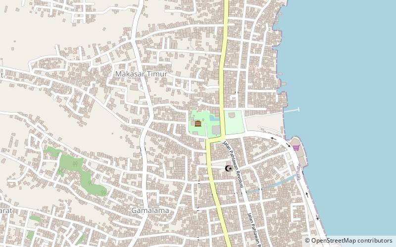
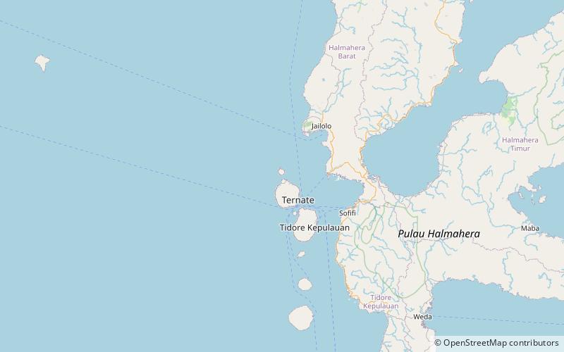
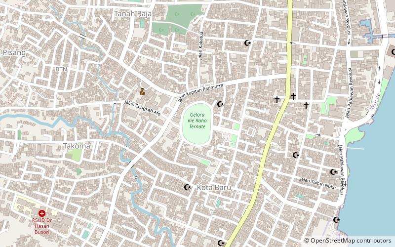
Map
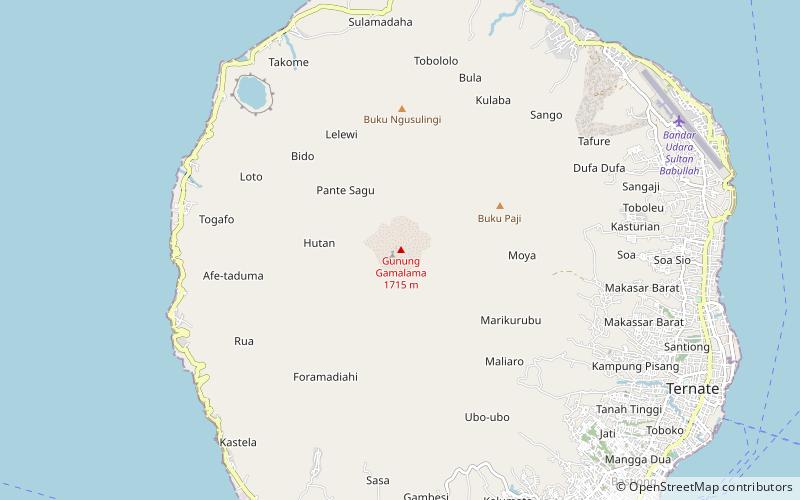
Map

Facts and practical information
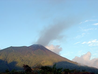
Gamalama is a near-conical stratovolcano that comprises the entire Ternate island in Indonesia. The island lies off the western shore of Halmahera island in the north of the Maluku Islands. For centuries, Ternate was a center of Portuguese and Dutch forts for spice trade, which have accounted for thorough reports of Gamalama's volcanic activities. ()
Local name: Gunung Gamalama Last eruption: 2018Elevation: 5627 ftProminence: 5627 ftCoordinates: 0°48'32"N, 127°19'59"E
Address
Ternate
ContactAdd
Social media
Add
Day trips
Gamalama – popular in the area (distance from the attraction)
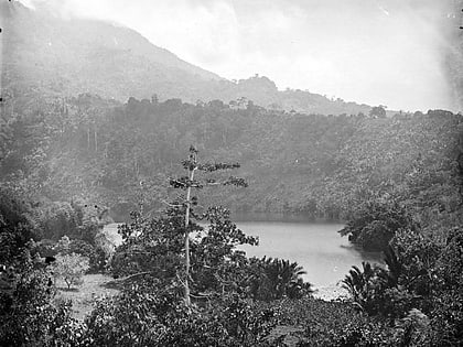
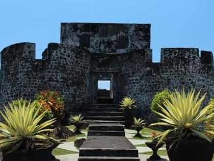
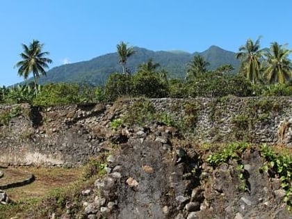
Nearby attractions include: Sultan of Ternate Mosque, Fort Oranje, Tolire Lake, Fort Kalamata.
