Siberut

Map
Facts and practical information
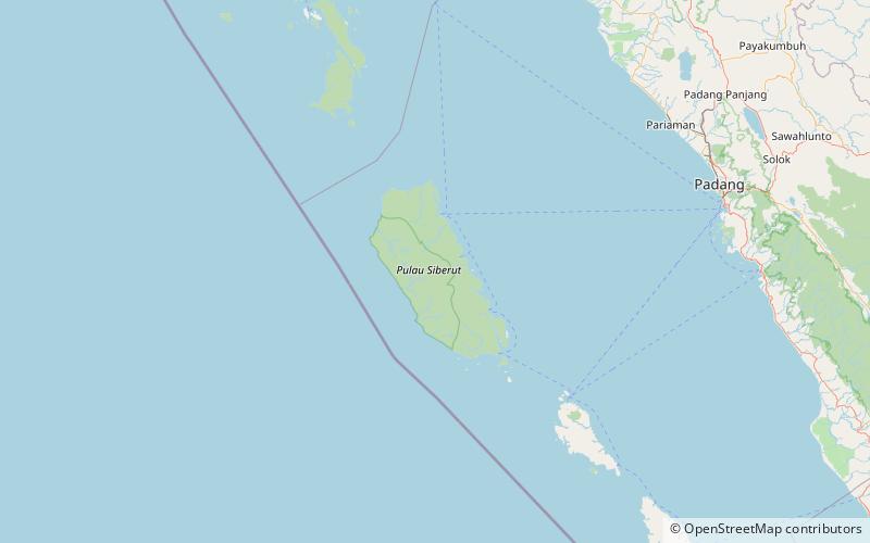
Siberut is the largest and northernmost of the Mentawai Islands, located 150 kilometres west of Sumatra in the Indian Ocean. It covers an area of 3,838.25 km2 including smaller offshore islands, and had a population of 35,091 at the 2010 Census and 40,220 at the 2020 Census. A part of Indonesia, the island is the most important home for the Mentawai people. The western half of the island was set aside as the Siberut National Park in 1993. Much of the island is covered with rainforest, but is subject to commercial logging. ()
Local name: Pulau Siberut Area: 1478.38 mi²Maximum elevation: 1260 ftArchipelago: Mentawai IslandsCoordinates: 1°22'12"S, 98°55'28"E
Location
West Sumatra
ContactAdd
Social media
Add
Day trips
Siberut – popular in the area (distance from the attraction)
Nearby attractions include: Siberut National Park.
