Siberut National Park
Map

Map

Facts and practical information
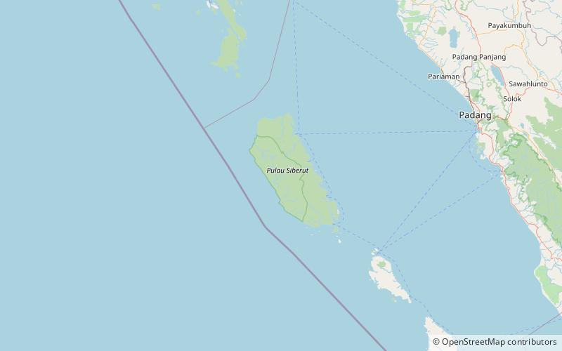
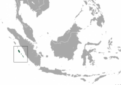
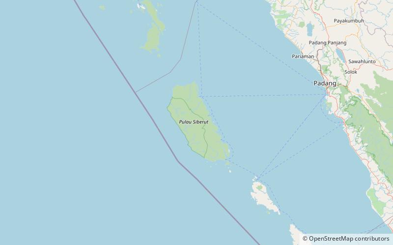
Siberut National Park comprises 1,905 km2 of the island of Siberut in the Mentawai Islands of West Sumatra, Indonesia. The whole island including the national park is part of the World Network of Biosphere Reserves. ()
Local name: Taman Nasional Siberut Established: 1992 (34 years ago)Area: 735.52 mi²Elevation: 121 ft a.s.l.Coordinates: 1°23'57"S, 98°50'46"E
Location
West Sumatra
ContactAdd
Social media
Add
Best Ways to Experience the Park
Wildlife
AnimalsSee what popular animal species you can meet in this location.
More
Show more
Day trips
Siberut National Park – popular in the area (distance from the attraction)
Nearby attractions include: Siberut.


